Total Ascent: 2600ft
Highest Point: 5000ft
Total Distance: 8 miles
Location: N 47° 45.384, W 123° 05.489
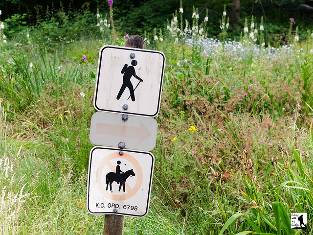
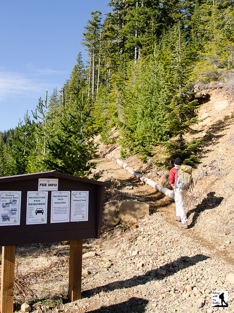
Required Permit: None
Difficulty: Moderate
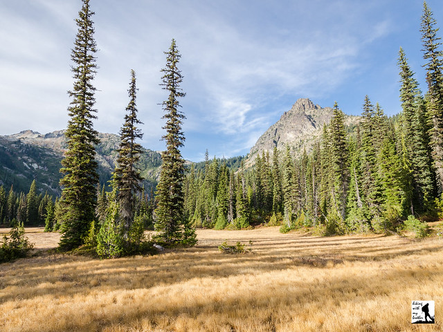
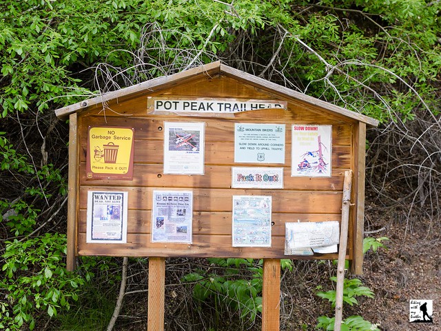
 More than a few months ago we headed out to the Olympic Peninsula in search of a quiet walk in the woods. We turned our attention to the Buckhorn Wilderness and found the Tunnel Creek Trail, which promised a creekside hike, as well as some panoramic views of wild and rugged peaks. That was more than enough to entice us down ten miles of forest road to this peaceful and engaging trail.
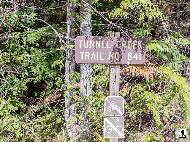
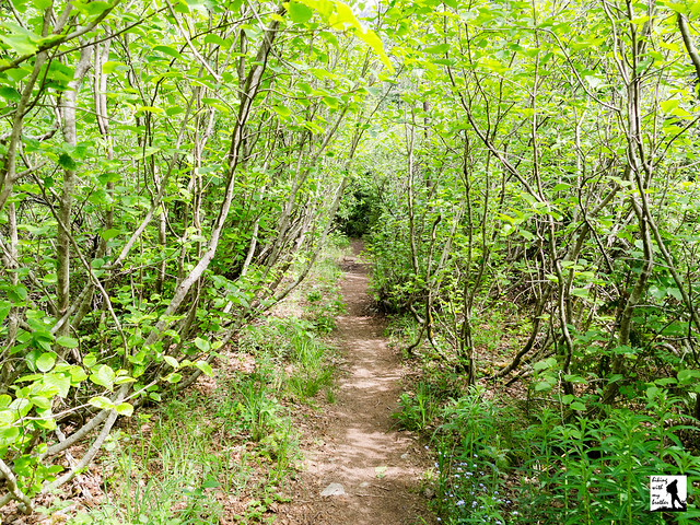
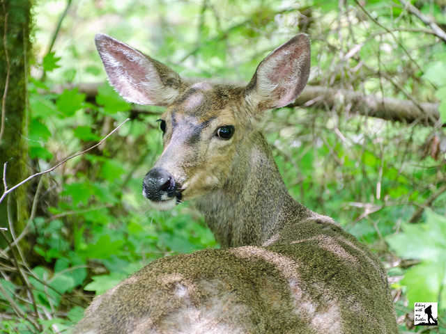
The Tunnel Creek Trail #841 is a through hike, meaning that hikers can start on either end of the trail to make their way up to 5050 Pass. Like most hikers we took the Quilcene approach, which is less steep and somewhat easier to navigate than the Dosewallips end. The Quilcene route begins by following Tunnel Creek into the Buckhorn Wilderness and the quiet shelter of old growth. Ancient trees line the trail as it carves its way through a mossy forest floor and gently climbs up the creek valley. Tunnel Creek is your cheerful companion as you press deeper into the trees, keeping your attention by playfully tumbling over fallen logs or cascading down rocky ravines.
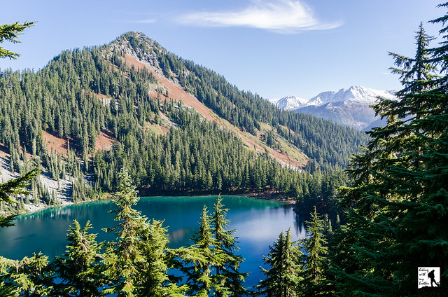
 After 2.7 miles reach the Tunnel Creek Shelter, which has offered hikers a roof since at least the 1930s. Take a moment to duck in and read the names and dates carved into the wood stretching back through the decades. Rest up, because from here the trail gets more serious about reaching the pass. Cross Tunnel Creek over a short footbridge and begin your mile long climb to Harrison Lake, following the trail as it works its way steeply up the mountainside. As you climb, the trees will part just enough to offer brief glimpses of Mt. Constance and hints of the views to come. Eventually you'll pass a small tarn just before reaching Harrison Lake at 3.7 miles, then continue upwards another .3 miles to 5050 Pass and a short scramble out to the overlook. One 1932 map notes the location as a “Fine View of Surrounding County,” and that is something of an understatement. Mt. Constance dominates this stunning scene, though in the distance to the north you can pick out Buckhorn Mountain and Iron Mountain. Settle in to see how many peaks you can find or do some exploring to see if you can find a better perch than we did. If you’re still hungry for a challenge, you can push another 4 miles down from 5050 Pass into the Dosewallips Valley, though the trek is reportedly rough and very steep.
Tunnel Creek is a great choice for those that want a little taste of everything on a hike; rushing mountain waters, big views, alpine tarns and old growth forests all a little off the beaten path. The trail shelter offers a decent turn around point for a shorter day, while the climb up past Harrison Lake to 5050 Pass is sure to satisfy hikers looking for a full day in the wilderness. The trail is well maintained and easy to follow, thanks in park to trail volunteers who work diligently to remove blowdowns. For all the trail has to offer, it's often overlooked, which makes it a good alternative to more popular hikes in the area.
 To get there, take the Bainbridge Island Ferry and follow State Route 305 through Poulsbo to State Route 3. Follow SR 3 to the Hood Canal Bridge, taking a left over the bridge onto State Route 104. Follow SR 104 as it merges onto US 101 and continue 11.3 miles through Quilcene to Penny Creek Road. Take a right and continue 1.4 miles to a split in the road and the end of the pavement. Veer left onto the Big Quilcene River Road (FR 27). Continue 3.1 miles to the intersection with FR 2740 over sections of both pavement and gravel. Veer left onto FR 2740 and continue 6.8 miles to the end of the road and the trailhead. -Nathan
Print Google Directions >>


 Looking for inspiration to get out on the trail? Looking for a great holiday gift? Look no further! For the fifth year in a row, we've put together a great calendar with a different hiking trip every weekend in the new year. The