Our Hiking Time: 6h
Total Ascent: 3000ft
Highest Point: 4000ft
Total Distance: 13 miles
Location:
N 47° 30.7080, W 121° 40.5060
Required Permit: None
Difficulty: Hard

This week found us slogging up the inconveniently located Green Mountain on a wet and dreary Sunday. Situated between
Mt. Teneriffe and
Bessemer Mountain, the only official means to access the Green Mountain Trailhead is along the
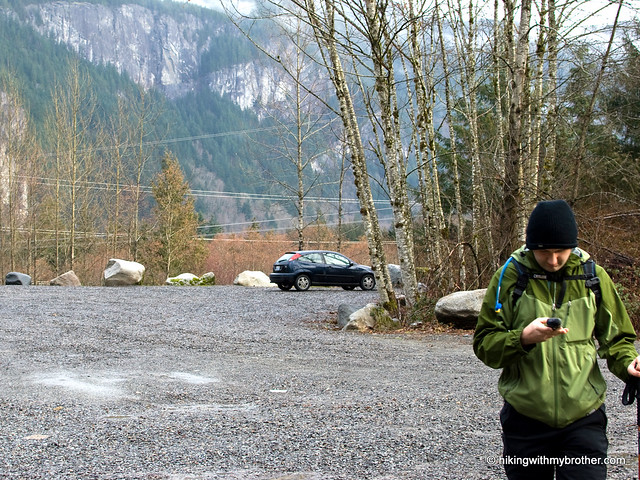
CCC Road. Resigned to revisiting a few miles of plodding forest road, we geared up and headed out to North Bend.

When we did this hike, we knew of only two options for getting to the trailhead. One could either follow the
Mt. Si Road out as far as it can go and hike the remaining four miles along the CCC Road to the trailhead or one could take FR 56 out to Big Blowout Creek and hike the
Bessemer Mountain Road to the CCC Road and a five-mile trek to the trailhead. Either way has its disadvantages. Although the FR 56 approach is significantly longer, the terrain and trail are much more pleasant to hike through. While shorter, the
Mt. Si Road approach is more aggravating. The road ends at the
Mt. Teneriffe trailhead, though one can continue past numerous signs screaming “no recreational access” and “private road” to the gate, it is generally recommended that you park at the
Mt. Teneriffe trailhead. Hopefully, you can avoid nasty notes on your vehicle more easily this way.
The hike up Green Mountain itself is enjoyable. Long abandoned logging roads quickly give way to something resembling a trail winding up the mountainside. Lower elevations are very similar to the lush, alder-lined
CCC Trail, complete with frequent stream crossings. Evidence of logging still lingers, but the years have softened the blow, with quick growing hemlock and cedar already filling in the gaps. The trail is clear and in good shape though often heavy on the incline.

After a few miles and a number of long switchbacks, roads diverge and you’re presented with a choice. You can continue out to Mr. Manning’s Absolute Last Promontory, or you can hook up the mountain toward the summit. The Promontory is touted to have great views of Russian Butte and Garfield, as a decent birds-eye view of the Middle Fork Valley. The day’s low clouds pushed us toward the lesser-traveled summit route, which we followed to the end of the logging road. Once out of road, keep an eye out for ribbons marking an extremely steep route to the top. Be warned; the path makes no attempt to do anything other than convey you straight to the top, nor is it so well used that the path is clear. As snow built up it became increasingly difficult to follow the path, and once we pushed past the tree line, we called it a day beneath the exposed rocks of the summit.
This is a fun hike and challenging hike, though the hike in can take a

lot of the joy out of it. Recently, we heard rumors of local hikers exploring a more direct route to Green Mountain by bushwhacking up from FR 56 and we took an afternoon to investigate. Without much hassle we found a much preferable alternative approach to the Green Mountain Trail that we highly recommend to the more traditional routes you'll find in guidebooks. We've updated the map here to reflect the new route. You can find a comparison of the route we took to the new trail
here.
To get there, take I-90 to exit 34 and take a left onto 468th Ave. Follow the road past the truck stop for about a half-mile until you reach SE Middle Fork Road, also known as Forest Road 56. The road has a few twists and turns, but continue on until the asphalt ends at
Mailbox Peak Trailhead. Press on just over five miles to a large concrete bridge spanning the Middle Fork Snoqualmie. Look for an unmarked trail heading downstream just past the bridge on the north side of the river. No real parking available, though the shoulder is a bit wider on the south side of the bridge. -Nathan


 for this and many more hikes throughout the State. Help support hikingwithmybrother.com and the work we do by picking up a copy!