Total Ascent: 100ft
Highest Point: 900ft
Total Distance: 2 miles
Location: N 47° 31.4460, W 123° 20.5140
Required Permit: National Park Pass
Difficulty: Easy
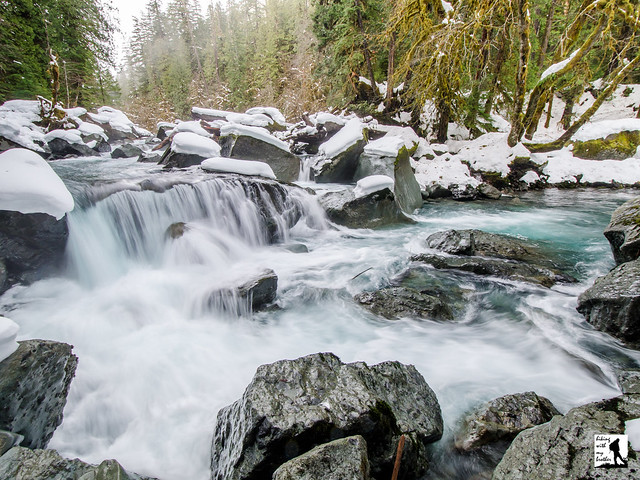
 A few weeks ago we rang in the New Year with a trip out to the Olympic Peninsula to tour one of its most popular trails: Staircase Rapids. Located near Lake Cushman, this nearly flat riverwalk has attracted hikers for over a century. With blue skies above Seattle, we grabbed our snowshoes and started the long trek out to the North Fork Skokomish River.
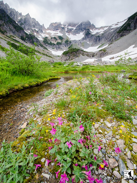
This truly is a hike for all seasons. Accessible all year, this loop works for a quick snowshoe or a short summer hike. Because the distance and elevation are fairly minimal, this hike works well for young hikers and first time snowshoers. This is also a very popular destination with many trails linking to other nearby
 destinations, so expect a little company as you head out to Staircase. There’s less traffic in the winter, so if you’re looking for an introductory snowshoe, Staircase Rapids is a good bet.
There's a lot more to the Staircase Rapids, and you can learn all about it in our book, Hiking Through History Washington. You'll find a trail map, route descriptions, history, and more for this and many more hikes throughout the State. Help support hikingwithmybrother.com and the work we do by picking up a copy!

To get there, take I-5 south to Olympia to Exit 104 toward Aberdeen and Port Angeles. Follow US 101 along Hood Canal just over 35 miles through Shelton to Hoodsport. Turn left onto Lake Cushman Road/State Route 119 and follow for a little over 9 miles to a T-intersection. Head left onto Forest Road 24. Continue for about 6 miles to the Staircase Ranger Station and the parking lot. Note that FR 24’s pavement turns to gravel after the first 2 miles. -Nathan
Print Google Directions >>