Total Ascent: 2500ft
Highest Point: 5240ft
Total Distance: 6 miles
Location: N 47° 27.1620, W 121° 24.3060
Required Permit: Northwest Forest Pass
Difficulty: Moderate
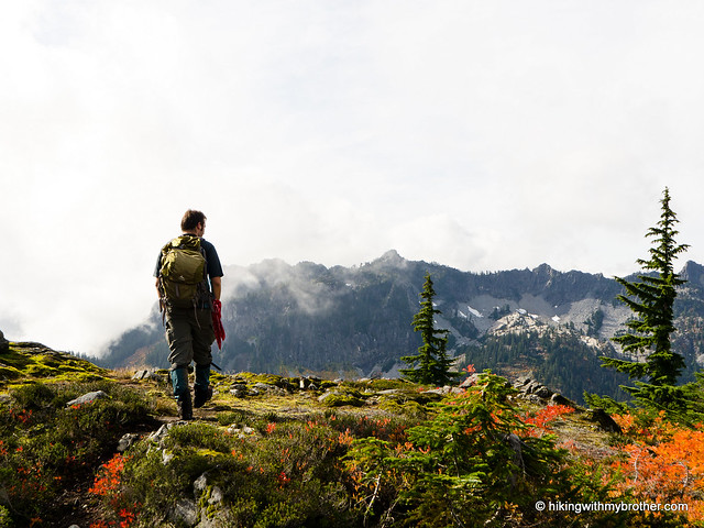
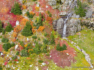
 It’s been months since we’ve hiked in Snoqualmie Pass. This week we returned to take care of some unfinished business. Over a year ago we tried to climb Cave Ridge via an unmaintained series of trails through the Commonwealth Basin, only to be stymied by early snows. This time the weather cooperated and we were soon enjoying big views filled with the reds and oranges of autumn.
 We outlined much of this history of the area when we climbed Guye Peak, Red Mountain, and Snoqualmie Mountain. Cave Ridge is probably named for the extensive limestone cave system that permeates it – one of only three such systems in Washington State. There are a number of named caves in the area including Cascade, Clark’s, Hellhole, Lookout, Newton, Prospector’s, and Red Caves. Of these, the main trail only goes by Lookout Cave. Other caves are scattered around the ridge and are not easy to find without guidance. A word of caution: these caves are dangerous, many involving tight spaces and long vertical sections – Hellhole begins with a six-story drop to the cavern floor – so do not enter without the right gear and experience.
Cave Ridge is also home to an art installation designed to spark discussion about our relationship with nature and the wilderness. Tucked off-trail on a small rise sits a genuine US West phone booth, cemented into place as if professionally installed by the phone company. The project was put together in the summer of 2010, but it is already showing signs of wear – the receiver has gone missing and the weight of snow is slowly causing the booth to collapse. Still, judging from online conversations, the artists seem to have achieved their goal of starting a conversation.
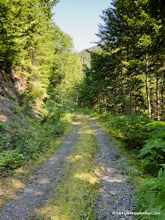
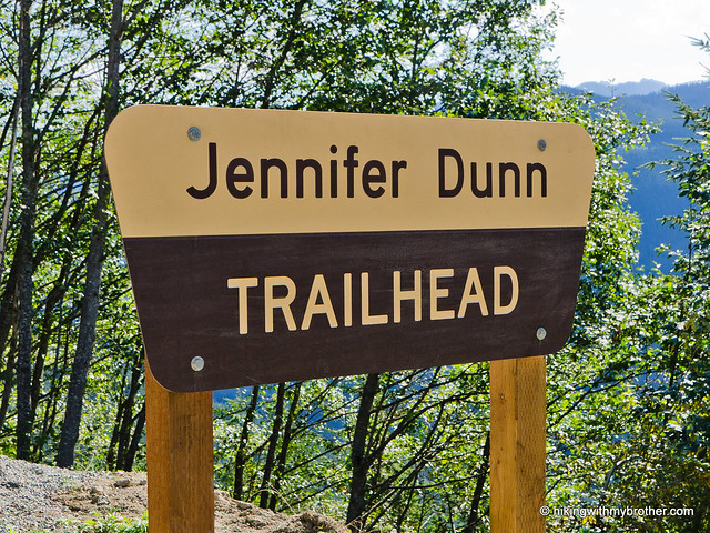
Most hikers approach Cave Ridge from Alpental following the Guye Peak Trail up to a saddle, then veering left up to the top of the ridge. Instead, we wanted to try an approach that followed an unmaintained section of trail through Commonwealth Basin. Our route begins at the trailhead for Kendall Katwalk and Red Mountain. However, almost immediately you’ll take a left onto a narrow, alder-lined trail. Follow this one-time logging road as it occasionally tries on the role of streambed, a theme that continues for the majority of the trail up to the saddle.
 The soggy trail winds upwards through the trees, heading closer to Commonwealth Creek. A couple of side trails branch off to creekside cascades, worth a peek if you have some extra time. Beyond the side trails, the trail reaches the creek, currently spanned by two large logs lashed together with thin cable and chicken wire. Once across, the main trail continues to the right, and eventually carries you to Red Mountain. Instead, head left and cross a branch of the creek, following the faded trail to the foot of Guye Peak.
From here, the trail becomes increasingly difficult. The first section is fairly flat, as you remain in the valley bottom and occasionally slog through marshy areas at the base of talus fields. There are quite a few fallen trees to navigate here, and the trail often disappears under brush or water. This continues until you reach a pair of small waterfalls tumbling across the trail that seem to mark the trail’s end. But the trail continues - straight up the waterfall. After this point the trail is extremely steep. Only every so often will there be short sections of level ground before the trail angles straight uphill again. Exposed roots and overgrowth often make the trail slick, and the steep grade adds to the challenge. Tread carefully to avoid a tumble.
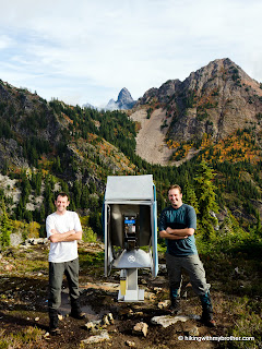 Eventually you’ll find yourself in a rocky gully that leads up to the saddle between Guye Peak and Cave Ridge. Head right at the intersection and follow the well-trodden trail the short distance up to the top. After the steep inclines and rough trail below, the trip to the top will seem like a breeze. Suddenly you’ll find yourself standing nearly face-to-face with Snoqualmie Mountain. You can easily see nearby Red Mountain, Kendall Peak, Guye Peak, and Denny Mountain in the nearly 360-degree view. A bit further in the distance, Mt. Thompson can be seen just beyond Red Mountain, and Chair Peak and the Tooth are further down the ridge from Denny Mountain. If the views aren’t enough and you want a little extra, take a moment to look directly at Red Mountain. On a far ridge, you can just barely make out a sliver of metal and a hint of blue. There lies the phone booth. Follow any of the faint waytrails down to a trio of lakelettes and up to the booth.
To get there, take Exit 52 off I-90 and take a left onto Alpental Road. After you pass under the freeway, take a right onto a small spur road marked Pacific Crest Trail and follow to the parking lot. -Nathan
