Total Ascent: 1900ft
Highest Point: 3800ft
Total Distance: 6.6 miles
Location: N 47° 56.5683, W 120° 19.766
Required Permit: None
Difficulty: Moderate
 Last summer we spent a weekend hiking around the bluffs above Lake Chelan. We explored a number of trails, all of which had something a little different to offer. One of those trails was the Pot Peak Trail, a dusty mixed use trail that climbs Pot Peak Ridge to take in views of the surrounding foothills.
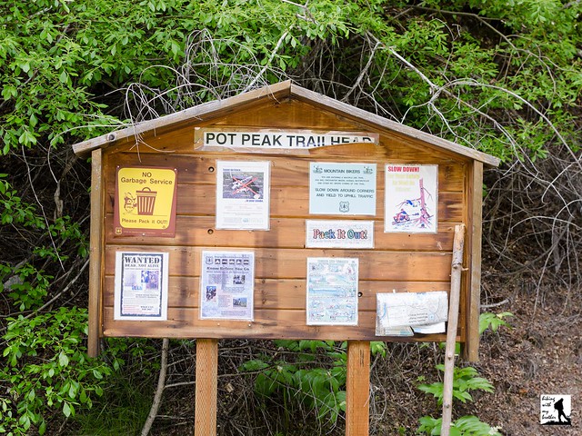
The Pot Peak Trail #1266 begins from a roadside trailhead and immediately begins ascending the ridgeline. Like many of the trails in this area, the Pot Peak Trail is primarily a biking trail and some sections of the trail have been improved to handle bike traffic. Many of the trail’s switchbacks are reinforced with cinder blocks to keep the trail from degrading. After about a half mile of climbing the trail enters a burn zone, a stark reminder of the 2004 Pot Peak Fire that offers an early glimpse of the views to come.

Somewhat challenging and easily accessible from Chelan, the Pot Peak Trail is a good option for those hikers looking to fit a good hike into a weekend at the lake. While the views are not necessarily spectacular, the opportunity to explore a terrain recovering from a relatively recent forest fire has a certain appeal. Keep in mind that this is primarily a biking trail, so be ready to share the trail with bikers who may be coming downhill quickly. At the same time, this trail is often overlooked as a hiking option, which means you’re likely to enjoy the trail without much in the way of company.

Print Google Directions >>