about us | links | permit info
Subscribe to Hiking With My Brother Email Subscribe Follow Hiking With My Brother on Facebook Follow Hiking With My Brother on Twitter Hiking With My Brother Picasa Hiking With My Brother YouTube

Easton Ridge Trail #1212

Our Hiking Time: 4h
Total Ascent: 2200ft
Highest Point: 4500ft
Total Distance: 6.5 miles
Location: N 47° 14.9040, W 121° 8.3640
Required Permit: None.
Difficulty: Moderate

Nathan's Photo
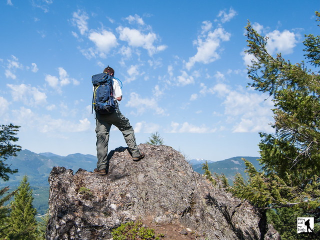
A few months ago before the grey of autumn brought along chilly winds and endless rain, we found some time to head out over Snoqualmie Pass to tackle Easton Ridge. Much like nearby Kachess Ridge, the hike promised an exposed ridgeline with broad views of nearby peaks and lakes. Easton Ridge not only delivered the views, but also surprised us with abundant fields of wildflowers.


Easton Ridge works well for an early season hike. At a lower elevation and located east of Snoqualmie Pass, it tends to melt out quickly. And while more folks are discovering the hikes near Easton, they do not get nearly as much traffic as other I-90 hikes leaving you to enjoy the big views without a lot of company. Although there is a bit of elevation gain, but most hikers should be able to tackle Easton Ridge, making it a great alternative on a sunny weekend. We recommend you tackle this hike in late June or July when the wildflowers will be at their height.


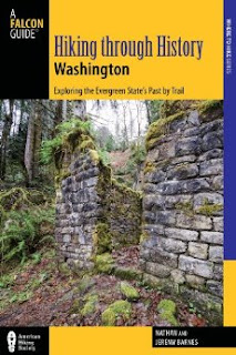
There's a lot more to Easton Ridge, and you can learn all about it in our book, Hiking Through History Washington.  You'll find a trail map, route descriptions, history, and more for this and many more hikes throughout the State. Help support hikingwithmybrother.com and the work we do by picking up a copy!
To get there, take I-90 to Exit 70. Take a left over the freeway and turn left onto West Sparks Road. Continue for a half-mile to FR 4818 (signed Kachess Dam Road) and take a right. Follow FR 4818 for a mile to an unmarked road on the right. Follow this road for a half-mile to the small parking area at the trailhead. -Nathan
Easton Ridge

Marten Creek Trail #713

Our Hiking Time: 4h 45m
Total Ascent: 1400ft
Highest Point: 2800ft
Total Distance: 6.6 miles
Location: N 48° 6.2640, W 121° 37.3320
Required Permit: None
Difficulty: Hard (Overgrown after 2.0 miles)

Nathan's Photo
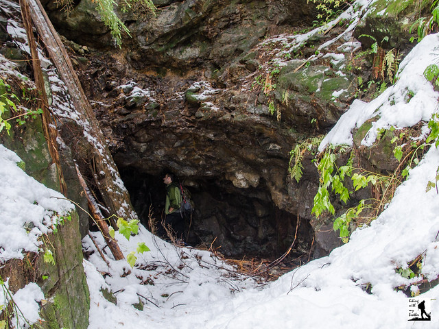
A few weeks ago we headed back out the Mountain Loop Highway to the Marten Creek Trail #713, an all-but-forgotten mining road that once connected Silverton with Darrington over Granite Pass. We expected to find a trail leading out to an old mine, but instead we were confronted with a bit more route-finding and bushwhacking than we anticipated.


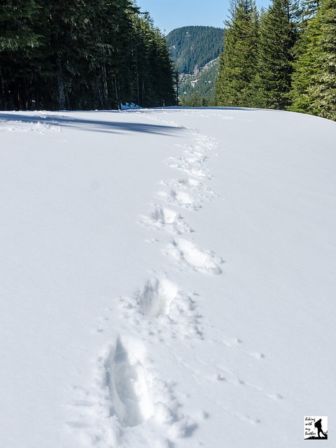
If you’re looking for a training hike or a quiet snowshoe without a lot of company, the Marten Creek trail is an excellent choice. Although there is not much in the way of a destination, the first two miles of this trail offer forested trails, a roaring creek, some views and more than a little history. Much beyond this point most folks are unlikely to enjoy the hike, at least until the trail gets some serious trail maintenance. Because of this, we recommend you save this one for snowshoe season, as it makes a great alternative to the more popular routes along the Mountain Loop Highway.

There's a lot more to Marten Creek, and you can learn all about it in our book, Hiking Through History Washington.  You'll find a trail map, route descriptions, history, and more for this and many more hikes throughout the State. Help support hikingwithmybrother.com and the work we do by picking up a copy!

To get there, take I-5 North to Exit 194. Follow Highway 2 for about two miles. Stay in the left lane and merge onto Lake Stevens Highway 204. Follow for two miles to Highway 9. Take the left onto Highway 9 toward Lake Stevens. In just under two miles reach Highway 92 to Granite Falls. Take a right and follow for about nine miles to the Mountain Loop Highway. Follow the MLH for about 20 miles to the bridge over Marten Creek, just past the Marten Creek Campground. The signed trailhead is on the east side of the creek. There is no parking lot, find parking along the shoulder. -Nathan

Print Google Directions >>

Marten Creek

Colquhoun Peak Trail #1195

Our Hiking Time: 30m
Total Ascent: 600ft (900ft from FR7036)
Highest Point: 5200ft
Total Distance: 1.0 mile (2.0 miles from FR7036)
Location: N 47° 7.7520, W 121° 27.6720
Required Permit: None
Difficulty: Moderate

Nathan's Photo
Last week we decided to do a little exploring in the forests that surround Greenwater out along Highway 410. We had a couple of different trails and destinations we wanted to check out, including a return trip to Colquhoun Peak for a snow-free trek up the site of a former fire lookout. As we knew from our previous visit, this short hike offers some excellent views of Mt. Rainier and the White River Valley.

Although quite short, Colquhoun Peak makes a good addition to a day of hiking, delivering excellent views in a very little time. Combining a trip of Colquhoun Peak with a trek up Kelley Butte or Blowout Mountain can make for a decent day of hiking and exploring this area. While the trail is somewhat steep and a little rough, because it is only a half-mile, the trail should be approachable for almost any hiker. As an added bonus, this trail also does not see a lot of foot traffic, probably because it is a little tricky to find. So expect to savor Colquhoun Peak’s views without anyone else around.

One word of caution: the spur road to the trailhead is very narrow and is not wide enough for two cars to pass each other. Be careful if you chose to drive that half-mile to the trailhead, the road drops off steeply, and reversing down the rough road if you meet another car on your way up will be difficult. We recommend you park on the shoulder near the spur road and hike the road to the trail.

There's a lot more to Colquhoun Peak, and you can learn all about it in our book, Hiking Through History Washington.  You'll find a trail map, route descriptions, history, and more for this and many more hikes throughout the State. Help support hikingwithmybrother.com and the work we do by picking up a copy!

To get there, take I-5 south to Highway 18 Exit 142A. Follow Highway 18 into Auburn and take the SR 164 exit. Head left on SR 164 through Enumclaw to SR 410. Turn left onto SR 410 and drive about 20 miles through the town of Greenwater, past the fire station to FR 70 on the left. Take a left and follow FR 70 for about eight-and-a-half miles to FR 7030. Take a left and continue about four miles to FR 7036. Take a right and continue half a mile to unmarked Road 7036-110 on your right. It is a narrow, rough road that requires a high clearance vehicle. Either park at the junction and hike the half-mile to the trailhead, or drive to the end of the road and park in at the small turnaround at the end of the road. -Nathan

Print Google Directions >>

Colquhoun Peak
Copyright 2008-2016 - hikingwithmybrother.com
hikingwithmybrother@gmail.com