


Total Ascent: 600ft (900ft from FR7036)
Highest Point: 5200ft
Total Distance: 1.0 mile (2.0 miles from FR7036)
Location: N 47° 7.7520, W 121° 27.6720
Required Permit: None
Difficulty: Moderate
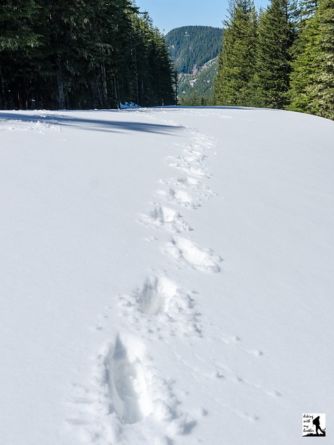
 Last week we decided to do a little exploring in the forests that surround Greenwater out along Highway 410. We had a couple of different trails and destinations we wanted to check out, including a return trip to Colquhoun Peak for a snow-free trek up the site of a former fire lookout. As we knew from our previous visit, this short hike offers some excellent views of Mt. Rainier and the White River Valley.
 Although quite short, Colquhoun Peak makes a good addition to a day of hiking, delivering excellent views in a very little time. Combining a trip of Colquhoun Peak with a trek up Kelley Butte or Blowout Mountain can make for a decent day of hiking and exploring this area. While the trail is somewhat steep and a little rough, because it is only a half-mile, the trail should be approachable for almost any hiker. As an added bonus, this trail also does not see a lot of foot traffic, probably because it is a little tricky to find. So expect to savor Colquhoun Peak’s views without anyone else around.
One word of caution: the spur road to the trailhead is very narrow and is not wide enough for two cars to pass each other. Be careful if you chose to drive that half-mile to the trailhead, the road drops off steeply, and reversing down the rough road if you meet another car on your way up will be difficult. We recommend you park on the shoulder near the spur road and hike the road to the trail.
There's a lot more to Colquhoun Peak, and you can learn all about it in our book, Hiking Through History Washington. You'll find a trail map, route descriptions, history, and more for this and many more hikes throughout the State. Help support hikingwithmybrother.com and the work we do by picking up a copy!
 To get there, take I-5 south to Highway 18 Exit 142A. Follow Highway 18 into Auburn and take the SR 164 exit. Head left on SR 164 through Enumclaw to SR 410. Turn left onto SR 410 and drive about 20 miles through the town of Greenwater, past the fire station to FR 70 on the left. Take a left and follow FR 70 for about eight-and-a-half miles to FR 7030. Take a left and continue about four miles to FR 7036. Take a right and continue half a mile to unmarked Road 7036-110 on your right. It is a narrow, rough road that requires a high clearance vehicle. Either park at the junction and hike the half-mile to the trailhead, or drive to the end of the road and park in at the small turnaround at the end of the road. -Nathan
Print Google Directions >>
1 Comments:
Nice job. I can't believe you find such awesomeness so close in January. Why the heck am I working 80 hours a week?
Post a Comment