about us | links | permit info
Subscribe to Hiking With My Brother Email Subscribe Follow Hiking With My Brother on Facebook Follow Hiking With My Brother on Twitter Hiking With My Brother Picasa Hiking With My Brother YouTube
Showing posts with label capitol state forest. Show all posts

Mima Falls Trailhead - Capitol State Forest

Our Hiking Time: 2h 30m
Total Ascent: 400ft
Highest Point: 600ft
Total Distance: 6.5 miles
Location: N 46° 54.666, W 123° 5.28
Required Permit: Discover Pass
Difficulty: Easy

Nathan's PhotoNot long ago we returned to Capitol State Forest to check out another of the working forest’s many trailheads. This time we headed to the Mima Falls Trailhead for a short trek out to the waterfall. While the falls are pleasant enough, the hike to reach them is not, as portions of this hike cut across large swaths of recently cleared forest and a nearby shooting range means you’ll never quite escape the sound of gunfire.


Mima Falls takes its name from the nearby Mima Mounds. “Mima” is a Native term meaning “a little further along.” Over the years, the Washington Department of Natural Resources (DNR) has worked with volunteers to build up the trail system in Capitol State Forest, expanding on the network of logging roads. It is likely that at least some portions of this trail are built on sections of former logging roads that once led to logging camps that supplied the sawmills in the lumber boom town of nearby Bordeaux. Established by the Bordeaux Brothers back in 1896, this area of the Black Hills were logged for over 40 years until the old growth timber ran out and Bordeaux became a ghost town in 1941. While Capitol State Forest has been a recreation destination for decades, the Mima Falls Trailhead and Campground was not built until 1973. In 2013 the DNR completed an overhaul of the Capitol State Forest Trail system that renamed most of the trails. Older guides will reference these outdated trail names.

The trail begins from the Mima Falls Trailhead, along the Mima Falls Trail East Trail. The route immediately passes through the Mima Falls Campground and enters a large area that was very recently logged. After a half mile, reach a junction with the Campground Trail. Veer left and continue through the fields of stumps and newly planted seedlings to the shelter of the forest. In another 1.5 miles, the trail splits into Mima Falls Trail West and the Mima Falls Tie Trail. Veer left over Mima Creek and reach the falls within a few tenths of a mile. The only views of this short cascade are from a rough side trail that parallels the waterfall. If you’re looking to extend your hike, a series of interconnected trails make it easy to put together a number of loops.  The Department of Natural Resources offers a decent map to help you navigate the trails.

If you’re only heading out to Mima Falls, this isn’t a hike we can recommend highly. While it’s certainly approachable for any hiker, the sounds of the neighboring Evergreen Sportsman Club can be a bit overwhelming. The range was operating long before the Mima Falls Trailhead was built, making this a less than ideal location for a trailhead. In addition, the recent logging activity has taken a lot of the beauty out of this hike. While this trailhead serves bikers well, it’s not the best for a hike. We recommend heading to the Falls Creek Trailhead or the Rock Candy Trailhead instead.

To get there, take I-5 South to Exit 95 the Littlerock/Maytown exit. Follow Maytown Road through Littlerock as it turns into 128th Street for 3.7 miles to a T-intersection. Head left onto Mima Road for 1.3 miles to Bordeaux Road. Take a right and in .7 miles turn right onto Marksman Road. Mima Falls Trailhead is at the end of the road on the left. -Nathan

Print Google Directions >>
Mima Falls

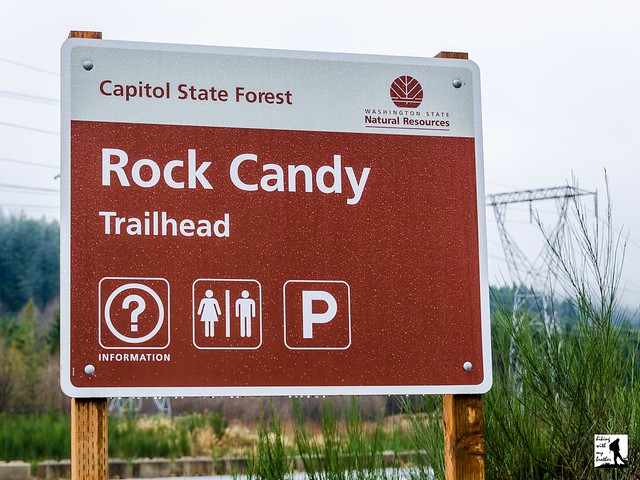
Rock Candy Trailhead - Capitol State Forest

Our Hiking Time: 2h 30m
Total Ascent: 1000ft
Highest Point: 1500ft
Total Distance: 5.5 miles
Location: N 47° 1.902, W 123° 5.592
Required Permit: Discover Pass
Difficulty: Moderate

Nathan's PhotoWhile snow will continue to keep many hikes out of reach for months to come, there are still plenty of low elevation hikes that can be accessed right now. A few weekends ago we found some time to head out to Capitol State Forest to explore some of the many trails in the area. We only had a chance to see a small portion of Capitol State Forest, but we saw enough that we'll definitely be back to see other sections of this sprawling forest.

Logging and the lumber industry loom large in the story of Capitol State Forest. Loggers have been knocking down its trees since the 1870s, back when this area of the country was still called the Washington Territory. Railroads and logging companies worked at a breakneck pace, chopping down forest as rapidly as possible, practices that ended up resulting in a series of forest fires that cleared tens of thousands of acres of vegetation. By 1933, the situation had become so dire that the legislature stepped in and purchased over 50,000 acres of what would become the Capitol State Forest to be managed as a commercial forest. In order to rehabilitate the land, the public was kept out of the area and the Civilian Conservation Corps was called in to plant millions of seedlings between 1938 and 1942.

By 1955 the area had recovered enough to allow public access and a long tradition of recreation in this managed forest began. Since that time, Capitol State Forest has only expanded, now boasting more than 90,000 acres and offering a wide variety of recreational resources. Riddled with forest roads, trails, and former railroad beds, Capitol State Forest attracts hikers, trail runners, campers, mountain bikers and off-road vehicle riders. Since 1975, the trails have been divided between motorized recreational use in the north half of the forest, and non-motorized recreation in the south to minimize interactions between equestrians and off-road vehicles. Today, Capitol State Forest hosts more than 800,000 visitors a year, and offers a little something for everyone.

This loop begins directly across the road from the Rock Candy  Trailhead parking lot, following the well maintained North Rim Trail into the woods. Continue along the wide trail for a few tenths of a mile to the junction with the Rock Candy Mountain Trail. Avoid the temptation to wander across the bridge, you’ll end up there at the end of the hike. For now, head right on the North Rim Trail as it begins its climb up the mountainside. The forest along the trail is fairly young, and evidence of recent logging is never too far off. As you press upwards the trail steepens and beings to switchback up to the shoulders of Rock Candy Mountain, ultimately reaching a forest road known as Army Road. This is the highest point on this loop, though there is little scenery to enjoy, recent logging activity has provided a view of the Black Hills to the south. Head left along Army Road to the Army Road Tie Trail and the shelter of the forest. Find the Rock Candy Mountain Trail almost immediately and follow it back to the trailhead.

While there isn’t anything particularly spectacular to see along this hike, this little loop is a decent winter option and is a great introduction to Capitol State Forest. These trails do see a lot of off-road vehicle traffic during the summer months, but they’re closed to motorized vehicles from November to May, making this a good time of year to do a little exploring. If you’re looking to expand on this route, the Department of Natural Resources offers a decent map to help you navigate the trails. If you haven’t given Capitol State Forest a visit, give this loop a try this weekend.

To get there, take I-5 South to Olympia and take Exit 104 onto US 101 North. Continue on US 101 North as it merges into US 8 after 6 miles. Take US 8 for 4.7 miles to Rock Candy Mountain Road. Turn left and follow the road a few tenths of a mile to the Rock Candy Trailhead and parking area. -Nathan

Download Capitol Sate Forest Trail Map

Print Google Directions >>

Rock Candy
Copyright 2008-2016 - hikingwithmybrother.com
hikingwithmybrother@gmail.com