Total Ascent: 600ft
Highest Point: 5280ft
Total Distance: 1.2 miles
Location: N 47° 2.4540, W 121° 35.7900
Required Permit: Northwest Forest Pass
Difficulty: Easy
 Last week we headed back out on Highway 410 to check out one of the most popular and easily accessible fire lookouts in the Mt. Baker-Snoqualmie National Forest, Sun Top Lookout. During high summer, anyone willing to spend sometime on some dirt roads can drive to the summit; during the rest of the year, reaching the lookout cabin is more of a challenge. With snow still on the ground, we headed out to see how close we could get.
 So is it Suntop or Sun Top? If you ask the US Geological Survey and the National Register of Geographical Place Names, it is officially Sun Top. The US Forest Service seems on the fence, using both Suntop and Sun Top interchangeably, but ultimately seems to have decided on Suntop, as that’s what is carved into the signs along the trail and nailed to the side of the lookout. And because no one – including the folks over at the Historic American Buildings Survey – seems to know how the mountain and lookout got its name, it’s not clear which one is more correct.
The exact details of the construction of the lookout are somewhat hazy, but it was most likely built in 1933, given that its pyramidal roof indicates it was built to specifications developed in 1932. The L-4 Lookout House, as it was called, was designed to be hauled up a mountainside by a train of mules and easily assembled by crews as small as one or two people. From 1942-43, the lookout was staffed by volunteers as part of the US Army Aircraft Warning System, which kept an eye out for possible enemy aircraft. Until 1956, access was via a 6-mile trail from the White River. After that, the road was completed to the summit, allowing everyone easy access to the big views at the top. Over the years the lookout fell into disrepair. It was rescued and restored in the 1980s, entering the National Register of Historic Places in 1987.
 There are many ways to reach Sun Top Lookout. One could take the Suntop Trail #1183, which, depending on who you ask, is a 14 or 16 mile day and begins near the Ranger Creek Airstrip. During the winter months, one can snowshoe the nearly 6 mile long FR 7515 up to the summit. Others prefer to combine two short hikes, driving out to nearby the Huckleberry Creek Trail to take a forested stroll along a creek, then driving up to Sun Top. Finally, if all the gates are open, you can just drive to the top. We’ve never been fans of hiking on a forest road if we didn’t have to, so we recommend finding a nearby hike to combine with Sun Top.
From any approach, the views from the lookout are well worth the effort. In the distance are big views of Mt. Rainier and Mt. Stuart along with Mt. Baker and the Olympic Mountains. Far below, the mountain is surrounded by water, with Huckleberry Creek to the west and the larger White River to the east. Find a picnic table or a comfortable patch of grass and enjoy the views.
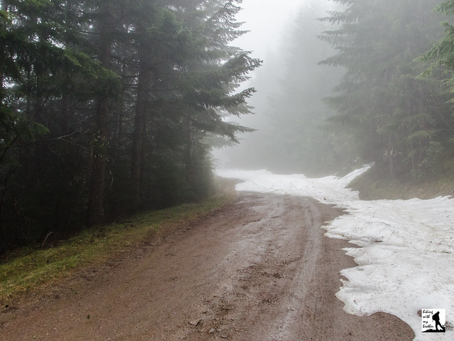
If you’ve never had the chance to get up to Sun Top, we recommend you find some time this summer to check it out. It is a fantastic opportunity to share iconic and stunning landscapes with anyone. Of course, with such access comes quite a bit of traffic. If you’re looking to enjoy the views with less company, you’ll need to come when the snows melt just enough to reach the parking lot a half-mile below the lookout, but before the lookout gates open making it easy to drive to the top. For our part, we came a little early and were stopped by snow about a mile from the lower lot, and slogged up the logging road to the lookout.
 To get there, take I-5 south to Highway 18, Exit 142A. Follow Highway 18 into Auburn and take the SR 164 exit. Head left on SR 164 through Enumclaw to SR 410. Head left onto SR 410 for 25 miles to Huckleberry Creek Road (FR 73). Take a right and follow FR 73 for 1.3 miles to the gated 7315, which is closed during the winter. Parking is available here. Veer left up 7315 for 4.8 miles to the Doe Falls Trailhead. If the gate is open, you can continue up another mile to the summit parking lot just below the lookout. Otherwise park here and find the trail a short ways up the road. -Nathan
Print Google Directions >>