Total Ascent: 3500ft
Highest Point: 4160ft
Total Distance: 5.5 miles
Location: N 47° 30.3060, W 121° 44.3880
Required Permit: Discover Pass
Difficulty: Hard
 We returned to Mount Si this week to explore an alternative trail to the top, with the hope of bypassing a lot of the crowds. Many hikers know the origins of Mount Si’s name, and some have even heard the Snoqualmie legends about this enormously popular mountain. Less known is Old Si Trail, a route that has been guiding hikers to the top of the mountain for over 80 years.
Back in 1931, William Taylor, an early North Bend pioneer, plotted
 out and helped construct the first official trail up Mount Si. This trial, known then as the “Taylor Memorial Trail,” was the primary path to the summit at least until the 1970s. In 1977, Washington State created the Mount Si Conservation Area in an effort to protect the iconic peak from overzealous lumber and mining operations. In 1987, the Conservation Area was expanded and dubbed the Mount Si Natural Resource Conservation Area (NRCA). Accounts vary, but at some point in the late seventies or early eighties, the Department of Natural Resources replaced the old trail, and local hiking groups such as the Washington Trail Association almost immediately took on caretaking responsibilities of “New Trail” as it continued to rise in popularity. The New Trail was renovated in 1993, and WTA recently completed a major re-excavation of over 8,000 feet of trail in 2006.
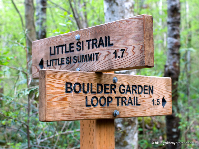
To access the Old Trail, start at the Little Si trailhead (if the trailhead lot is full, head to the overflow lot a few hundred feet down the road). Follow the Little Si trail past the first entrance to the Boulder Garden Loop Trail and on to the other end of the loop. Take the Boulder Garden Trail up past the namesake boulders and mossy outcroppings, being watchful for a rough trail leading up to the summit that appears about halfway along the route. This is the Old Trail. When you return, we recommend completing the loop, just for the change of scenery.
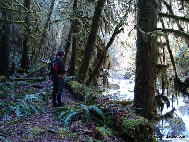
Once on the Old Trail, the path is straightforward: up. This trail is rougher and steeper than the newer incarnation, but there is also a lot less hiking traffic. We met quite a few folks on the way
 up, but nothing remotely comparable to the press of humanity on the normal route. The unexpected near-solitude gives one a chance to take in the surrounding forest and glimpse the occasional wildlife that can be overwhelmed by company. The Old Trail nearly merges with the new trail about three-quarters of the way up – veterans will recognize the popular resting point – but avoid the familiar and head back into the trees. In another mile or so, the trails intersect near the rocky top. As always, the rocks and boulders will be full, as Mr. Manning colorfully put it, of “a fresh crop of bananas.” Find a vacant spot and have a snack. Depending on the clouds, you should be able to pick out nearby Mailbox Peak, Mt. Washington, and Rattlesnake Ledge while looking down on North Bend below. If you’re up for it and the conditions are right, push on to the Haystack.
This is a great conditioning trail: it’s not only a little bit more secluded, it’s also shorter. This route cuts a little over a mile off the trip to the top, maximizing the elevation gain and minimizing the time. Of course, the Old Trail is not the smooth ride of the New Trail, made possible by thousands of volunteer hours and millions of boots. We recommend this alternative for anyone looking for the Si experience with a slight twist, or those training up for a bigger hike, but not for those hikers looking for something really different.
 The Old Trail doesn’t have too many secrets to offer up, and unsurprisingly feels like an older, grittier version of the Mount Si Trail.
To get there, you can take one of two exits off I-90. The traditional way is to take Exit 31 and head into town past the outlet malls for about a mile until you hit North Bend Way and take a right. Alternatively, you can skip the crowds and take Exit 32 at 436th Ave. Take a left over the freeway and continue to North Bend Way. Once there, take a left. Whichever way you choose, once on North Bend Way, you’ll quickly reach Mt. Si Road. Turn onto Mt. Si Road and pass over the Middle Fork Snoqualmie River. Find the Little Si trailhead on the left side of the road in a
quarter-mile. -Nathan