Total Ascent: 800ft
Highest Point: 1650ft
Total Distance: 4 miles
Location: N 47° 51.4320, W 121° 27.9060
Required Permit: None
Difficulty: Easy
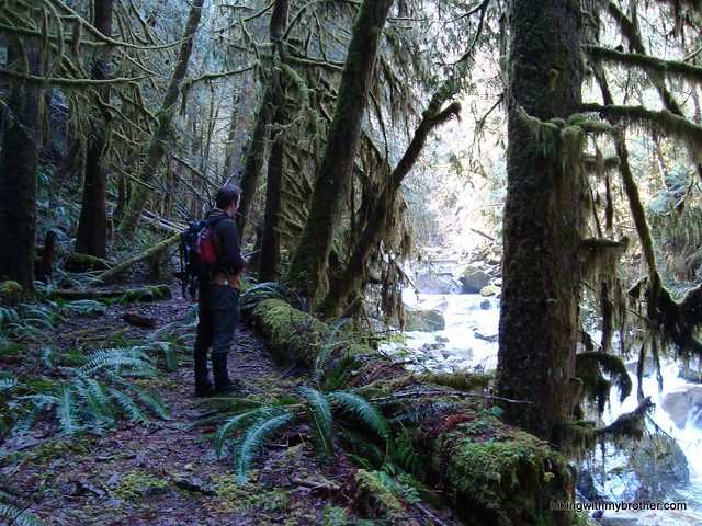
 Every once in awhile we like to take a break from lakes, waterfalls, and mountaintops, and take a hike out to something a little different. After touring the Mineral City town site, we found a few other abandoned mining operations and decided to do a little exploring. Sunset Mine was easily accessible and looked exciting, so we geared up and headed out to Index.
Tromping around Sunset Mine is more a stroll through history than it is a hike, but what it lacks in distance it more than makes up for in the fun of investigating the mines. Obviously, all tunnels and openings should be approached with caution, but the two large stopes have collapsed enough that they are now fairly shallow and do not go back much more than 200 feet. Lingering wooden beams and platforms seem to be the most unstable, so we avoided getting too close to them. All it all, the area was fun to explore. If you’re looking for a longer hike, there are supposedly more claims along Trout Creek further past the Sunset Mine, just keep following the road to find them.
There's a lot more to Sunset Mine, and you can learn all about it in our book, Hiking Through History Washington. You'll find a trail map, route descriptions, history, and more
 for this and many more hikes throughout the State. Help support hikingwithmybrother.com and the work we do by picking up a copy!
 To get there, take Highway 2 to the Index turnoff. Drive past Index and continue on the Index-Galena Road for about five miles to the Trout Creek Bridge, just before the road washout. Just past the bridge take a right onto a forest road. If the gate is open, decide whether to park your vehicle here or brave the two miles of pothole-ridden road to the mill foundation. Most four-wheel drive vehicles should be able to make it without too much difficulty. Remember the mines can be dangerous, so keep your explorations safe. -Nathan
Print Google Directions >>