Total Ascent: 500ft to Greenwater, 1900ft (1600ft in and 300ft out) to Echo
Highest Point: 3000ft to Greenwater, 4100ft to Echo
Total Distance: 4 miles round trip to Greenwater, 13.0 miles round trip to Echo
Location: N 47° 5.2500, W 121° 26.8740
Required Permit: Northwest Forest Pass
Difficulty: Easy to Greenwater, Moderate to Echo
Download GPX File
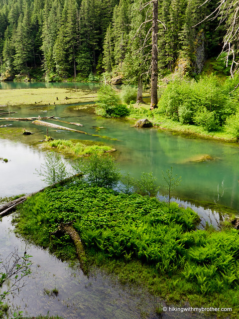
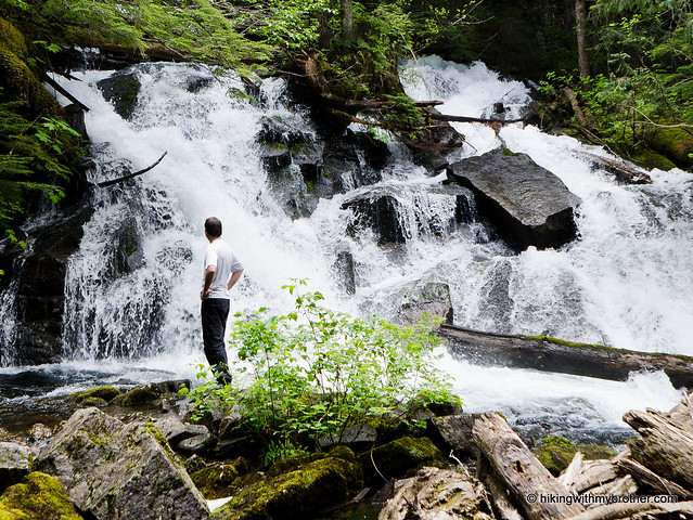
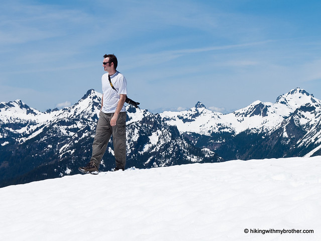
 This week we headed out toward Crystal Mountain and Highway 410 to explore the Greenwater Lakes Trail out to Echo Lake. Because this area is extremely popular for both hiking and camping during the summer, we planned an early start to try and get the jump on the crowds on a sunny weekend. We managed our early start, but not avoiding the crowds – the parking lot was already packed by the time we geared up.
 Rushing rivers, placid lakes, and wild forests continue to bring hikers out to the Greenwater Lakes trail. The hike out to Greenwater Lakes is very approachable for any almost anyone. This makes it a great option for young campers on their first overnight or backpacking experience. Beyond the lakes the trail does become more difficult, gaining a fair amount of elevation, so be prepared for more of a workout. Those looking to get away from the crowds will want to avoid this approach to Echo Lake, which can also be accessed via the Corral Pass trailhead. Still, we definitely recommended this hike for getting the whole family on the trail or getting those reluctant friends out on a hike.
There's a lot more to Greenwater and Echo Lakes, and you can learn all about it in our book, Hiking Through History Washington. You'll find a trail map, route descriptions, history, and more
 for this and many more hikes throughout the State. Help support hikingwithmybrother.com and the work we do by picking up a copy!
 To get there, take I-5 south to Highway 18 Exit 142A. Follow Highway 18 into Auburn and take the SR 164 exit. Head left on SR 164 through Enumclaw to SR 410. Turn left onto SR 410 and drive about 20 miles through the town of Greenwater, past the fire station to FR 70 on the left. Follow FR 70 a little over nine miles to FR 7033. Take a right and follow the road to the trailhead. -Nathan
Print Google Directions >>