Total Ascent: 1300ft
Highest Point: 1728ft
Total Distance: 7.0 miles
Location: N 46° 50.5560, W 122° 17.5080
Required Permit: None
Difficulty: Moderate
 This week we headed out to Pack Forest, an old favorite from our childhood. It had been years since we wandered along Pack Forest’s trails and we thought it would make for a decent winter hike. After doing a little research and plotting out a rough route, we packed up and headed out to Eatonville.
Pack Forest is always open, and almost always free of snow in the winter. While some of the trails can be a little challenging, forest roads can take a hiker nearly anywhere in the park.
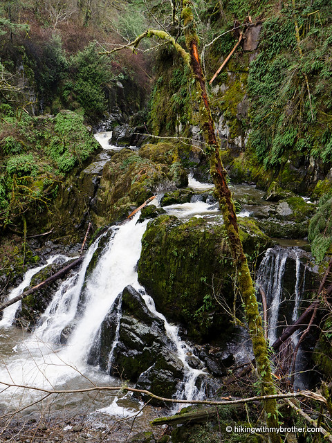
 With minimal elevation gain and easy access, this is a great pick for winter walks, hiking with youngsters or bringing out the dog for an adventure. We suggest that you bring along a map, as the multiple roads and trails can be confusing, and maps are not always available from the Gatehouse in the winter. If you make it out to Pack Forest, we highly recommend you take the time to head out to the waterfalls, which are well worth the trip.
There's a lot more to Pack Forest, and you can learn all about it in our book, Hiking Through History Washington. You'll find a trail map, route descriptions, history, and more
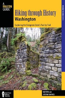 for this and many more hikes throughout the State. Help support hikingwithmybrother.com and the work we do by picking up a copy!
To get there, take I-5 South to Tacoma, taking Exit 127 for Highway 512. In about two miles, take the State Route 7 exit toward Spanaway. Continue on SR 7 for roughly 22 miles to the signed entrance to the University of Washington Pack Forest on the left. -Nathan
Print Google Directions >>