


Total Ascent: 1100ft
Highest Point: 5900ft
Total Distance: 5.4 miles
Location: N 46° 57.444, W 121° 52.867
Required Permit: National Park Pass
Difficulty: Moderate
 One of our longer overnights this summer involved a visit to the the Mowich Lake area. Popular and easily accessible, Mowich Lake serves as a jumping off point for a variety of adventures ranging from multi-day backpacks to short day hikes. Among the day hikes, a hike out to Tolmie Peak Lookout is among the most popular. With iconic views of Mt. Rainier and an operational fire lookout towering above an alpine lake, this hike should be on every hiker's bucket list.
 Back in 1833, the newly hired Dr. William Fraser Tolmie arrived at Fort Vancouver to begin his tenure with the Hudson Bay Company. He immediately set off for Ft. Nisqually, a trading post situated in the Nisqually Basin. On his trip north, he caught his first glimpses of Mt. Rainier and made the decision to visit the mountain in the coming months. In August of 1833, Tolmie set off on a “botanizing excursion” with a number of Native American guides. The first European to explore this area, Tolmie was the first to report the mountain’s glaciers. During his trip, Tolmie climbed an exposed peak to get a better view of Rainier. Tolmie Peak is named in honor of that climb, though most historians now believe he was climbing up Hessong Rock.
 In 1883, the lake below Tolmie Peak was dubbed Tolmie Lake. However, when it came time to map the area, the name was changed to Eunice Lake in honor of Mrs. W. H. Eunice Gilstrap, a frequent visitor to the area and wife of a Washington historian. Over time, the need for fire lookouts in the foothills around Mt. Rainier became increasingly apparent. Park officials quickly found that outposts on the mountain itself were often made ineffective by the cloud cover that Mt. Rainier is almost constantly creating. By the 1930s the Civilian Conservation Corps was hard at work building several lookouts, including the Tolmie Peak Fire Lookout that went up in 1933. Named a National Historic Place in 1991, today rangers staff the lookout on summer weekends to interact with visitors.
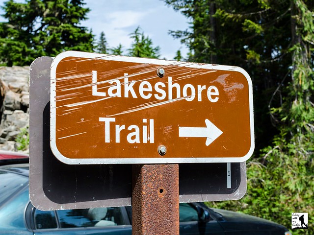
 The trail begins from the Mowich Lake parking area, quickly dropping down to the lake and meandering along the lakeshore. Soon the well-trodden path slips deeper into a vibrant forest and begins to climb leaving the lake behind. After a few switchbacks and a mile of hiking reach the Wonderland Trail. Eunice Lake and the lookout are to the right, but before you head that direction, take a left and walk the few hundred feet to Ipsut Pass and the Ipsut Creek Basin. Once you’ve had a look, head back to the junction and continue onward.
From here, the trail becomes a bit more challenging, dropping slightly before climbing steeply up the mountainside. Press upward through a series of tight switchbacks before the forest begins to thin and you find yourself wandering through alpine meadows. After .9 miles of hiking, reach the shores of Eunice Lake. Take a few minutes to explore the shore and find the lookout perched on the cliffs high above the water. When you’re ready, gather yourself for the last steep push to the lookout. It’s another 600 feet or so to the top, but it is well worth the effort. While the views from the top are commanding in all directions, you’ll be hard pressed to look at anything other than the snow covered mountain that fills most of the southern horizon.
 Popular and not too challenging, Tolmie Peak is a good choice for most hikers. There is something for everyone on this one. Not only is the view of Mt. Rainier spectacular, but Eunice Lake is a destination unto itself. During the late spring and summer, wildflowers are abundant in the meadows around the lake. The popularity of the hike likely means you’ll be sharing the summit, but the landscape is distracting enough to make it unlikely that you’ll notice the crowds. If you haven’t been up to Tolmie Peak, make sure to put this one on your list for next season.
To get there, take I-5 South to I-405. From I-405 take SR 167 south toward Auburn. In 20 miles take the SR 410 Exit toward Sumner/Yakima. Follow SR 410 for 12 miles to SR 165. Take a right and continue on SR 165 for about 10 miles through Wilkeson to the Carbon River Road/Mowich Lake Road junction. Veer right onto the Mowich Lake Road and follow for 16.2 miles to the end of the road and the trailhead. -Nathan
Print Google Directions >>
0 Comments:
Post a Comment