Total Ascent: 300ft (150ft in; 150ft out)
Highest Point: 480ft
Total Distance: 5.5 miles
Location: N 47° 46.0500, W 121° 52.4713
Required Permit: None
Difficulty: Easy
 Idyllic pockets of nature, often tucked away and preserved on public lands, are sometimes overlooked in favor of expansive vistas and remote alpine lakes. We may forget that some of these areas are relatively close to urban areas and make excellent hiking destinations. Recently we had the chance to check out one such area when we headed out Marckworth State Forest to explore the Cherry Creek Valley and find Cherry Creek Falls.
 Back in 1890, the Millet and McKay logging company began constructing a logging railroad to move timber out of the Cherry Creek Valley more quickly and efficiently. In 1904, the Cherry Creek Logging and Railway Company bought up Millet and McKay and expanded the railway lines up to a number of logging camps, including one situated near Cherry Creek Falls. Mergers in 1915 created the Cherry Valley Timber Company, but in 1916 F.E. Weyerhaeuser joined the board of directors, and the company was reorganized as the Cherry Valley Logging Company. Over the next decade logging in Cherry Valley began to wind down. In 1926, most of the remaining timberland was sold off, and the 1928 most of the logging equipment was sold to Weyerhaeuser. In 1948 the last of the company’s remaining land was sold and the Cherry Valley Logging Company was no more.
Marckworth State Forest was dedicated in 1967, named in honor of a recent Dean of the University of Washington School of Forestry. Once envisioned as an experimental forest much like Pack Forest, the area has instead grown to over 16,000 acres of working forest managed by the Washington State Department of Natural Resources (DNR). However, because the DNR does not currently receive funding to maintain or manage the Forest, the agency has not yet come up with a public use plan, so public information about the area is minimal and there are no official maps.
 The trickiest part of this hike is reaching your destination. With its long history of logging, the Forest is riddled with logging roads that can easily turn you around. To add to the confusion, the DNR’s lack of funding for the Marckworth Forest means there are no signs to point you in the right direction. We recommend you print out our directions or download our route and bring along the GPS just in case you take a wrong turn.
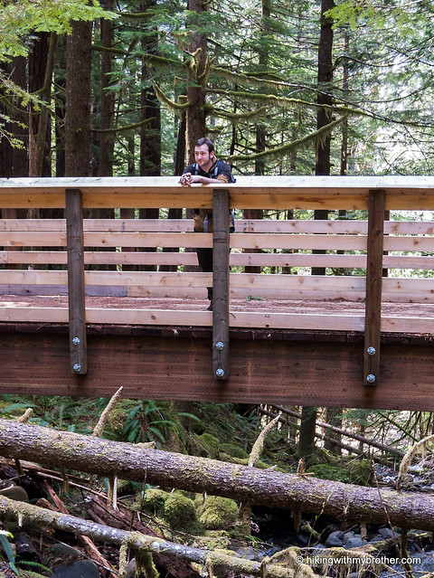
From the parking area, find a road with a blue gate a few feet to the south. Follow this logging road over a bridge crossing Margaret Creek and past a spur branching off to the right. At a little under a mile you’ll reach a split in the road. Veer right and uphill and continue a short distance to another branch, where you’ll head right and downhill. Drop down to the end of the road and head left onto a short user trail some helpful folks carved through the brush to connect with another nearby logging road. Once you reach the road, continue straight for about a mile, crossing a number of small streams to reach Hannan Creek. As soon as you cross the creek, look for a trail leading down toward the water. There are a couple of trails here, in various states of use, but all lead to an overlook above Cheery Creek Falls and continue down to the base of the falls.
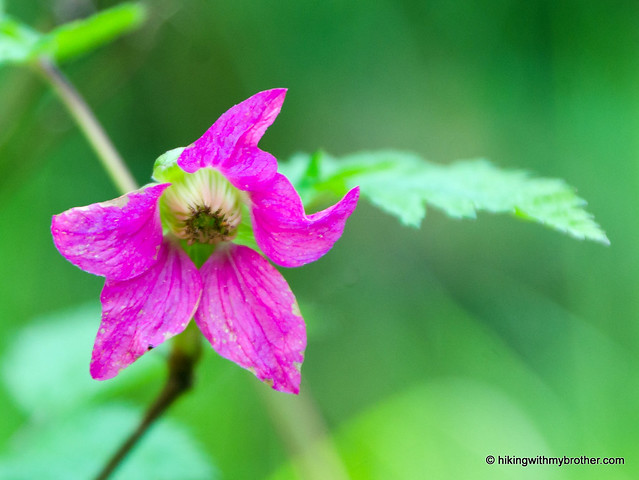
Because Cherry Creek Falls is a little under the radar for how close it is to Duvall and other nearby urban centers, don’t expect too much company during most of the year – except during the high summer when the falls become a popular swimming area. Once you get past the hassle of finding the falls, this is a very easy and accessible hike. The route is almost exclusively along logging roads, making a fairly level and smooth grade as you travel through a wide range of forest including everything from vine maples and alders to aging hemlock and Douglas fir. This makes it perfect for kids or first-time hikers, offering a little bit of backcountry feel that almost anyone can reach.
 To get there, take SR 520 to its end in Redmond and continue on Avondale Road for a mile. Veer right onto Novelty Hill Road. Continue on Novelty Hill Road for about five miles to a T-intersection. Turn left onto Snoqualmie Valley Road and then almost immediately take a right onto 124th Street. After one mile, 124th meets up with the Carnation-Duvall Road (also known as SR 203). Turn left and head through downtown Duvall. As you’re about to leave town, veer right onto Cherry Creek Valley Road. Continue on Cherry Creek Valley Road for just over four miles to Mountain View Road. Turn left and immediately find a small parking area on the right side of the road. Park and find the gated trailhead a few feet to the south. -Nathan
Print Google Directions >>