


Total Ascent: 3400ft (2700ft in; 700ft out)
Highest Point: 4700ft
Total Distance: 7.5 miles
Location: N 47° 56.0760, W 121° 20.5920
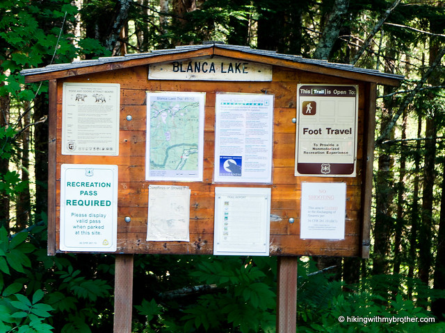
Required Permit: Northwest Forest Pass
Difficulty: Hard
 The bright blue skies of a September weekend were enough to push us to tackle an alpine lake that’s been on our list for years: Blanca Lake. The hike is known for the vivid colors of the lakewater and a relentless series of switchbacks gaining nearly 3000ft in three miles. We expected a challenge and Blanca Lake delivered.
We recommend this hike for most hikers, though some will find the elevation gain a little too taxing. Of course, as we mentioned, Lake Blanca attracts quite a few hikers, and you can expect quite a bit of company when you make the trek. However, this isn’t a hike to do early in the season to avoid the crowds, as the lake needs to thaw in order to reveal its trademark colors. This is definitely a destination for those hikers looking for something a little different – Lake Blanca is not your typical alpine lake.
There's a lot more to Blanca Lake, and you can learn all about it in our book, Hiking Through History Washington. You'll find a trail map, route descriptions, history, and more
 for this and many more hikes throughout the State. Help support hikingwithmybrother.com and the work we do by picking up a copy!
 To get there, take Highway 2 out past Skykomish to milepost 50. Take a left onto FR 65, also known as the Beckler River Road. Continue for almost seven miles to a junction and pavement end. From here continue north for just under six miles to a 5-way intersection known as Jack Pass. Take the second left and continue two-and-a-half miles to FR 63. Turn right and drive two miles to the trailhead. -Nathan
Print Google Directions >>
6 Comments:
Thanks for your story on Blanca Lake. It's maybe my most favorite of Northwest hikes. Which is a tough list. Thanks again, great to read your post.
that "is" a lot of people compared to your usual hikes. And a huge amount of tents. Beautiful lake though. :)
That would by my hard hat.
Brian
Love your photos. This is a great hike. We had a surreal encounter with an alto-saxaphonist playing lakeside here. No joke ...
Great pics .... and a very informative report.
One question: What time did you start the hike? Basically, what do you think is the "best time of the day" to visit the lake? Is it later afternoon ?
Hi! This is a very popular destination, so the earlier you get there, the more likely it is you'll have a spot to park in at the lot and not have to find parking on the side of the forest road. We generally get to trail-heads between 9 and 10am and don't have a problem. As far as the best time of day to see the lake, I don't think you can really go wrong. Since the trail ends at the south end of the lake, your camera won't ever really point into the sun and spoil the photos. If you're looking to swim, plan to get to the lake during the heat of day ~3pm, because the water will be cold!
Post a Comment