Total Ascent: 2500ft
Highest Point: 3700ft
Total Distance: 11 miles
Location: N 47° 34.4280, W 121° 36.3480
Required Permit: Northwest Forest Pass
Difficulty: Moderate
 This week we once again returned to the Middle Fork Snoqualmie Valley and ventured off the beaten path to try the trail along Quartz Creek to Lake Blethen. The route is not very popular and what we could find on the trail was inconsistent and unclear, so we resolved to investigate.
Lake Blethen and its very close neighbor Upper Lake Blethen were named for Col. Alden J. Blethen, the longtime owner of the Seattle Times Newspaper, which he purchased in 1896. To this day, the Blethen family continues to own a controlling interest in the Seattle Times. It is unclear why this set of lakes were named in his honor, other than the need to come up with something to call these nice but ultimately uninspiring lakes.
The trail follows logging roads built atop long abandoned mining roads used to access the quartz and copper from the Rainy Mine, first mined in 1901. The Rainy Mine is comprised of multiple adits and was worked intermittently until copper prices rose prompting extensive extraction from 1951-1957 after which it was abandoned. In the 1970s logging interests expanded the roads and quickly chopped down almost everything in the Quartz Creek Valley, prompting many hikers to avoid the area.
Today the road is lined with second-generation hemlock and cedar, now shouldering out the alder and huckleberry that took over after the clear-cut. The road is pleasant, beginning at the
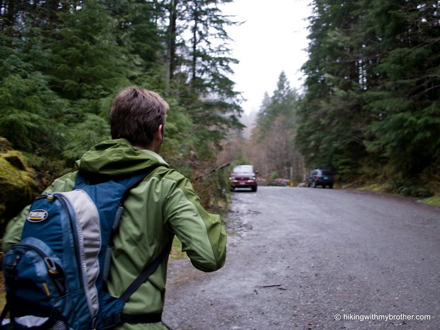
 end of Forest Road 56, just before the Taylor River Bridge, and veering off to the left at a signed juncture pointing toward Quartz Creek. At times it is difficult to tell whether you’re hiking a trail or a creekbed, but for the vast majority of the hike, the trail is clear and easy to follow. Occasionally the sharply pointed top of Mt. Garfield can be seen to the east, as well as Quartz Mountain across the valley. At roughly two miles a spur veers up to the right toward Rooster Mountain - keep to the left to get to Lake Blethen.
Although easy to follow, as the hike progresses, the quality of the road progressively degrades. There are occasional blowdowns blocking the trail. No creek crossing has a bridge, although a single log - all that remains of a massive bridge that washed out sometime between 1998 and 2003 - spans one ravine. Thankfully, some thoughtful hikers had brought a saw and cleared quite a bit of encroaching underbrush that had been blocking the trail. The road ends and gives way to real trail at a creek roughly a half-mile from the lake. Most of the time the bootpath is easy to follow, though we occasionally lost it in the snow. When in doubt, Quartz Creek drains out of Lake Blethen, so
 follow it to the lakeshore.
The lake itself is not overly impressive, but it certainly will be quiet. For added seclusion, climb the 500’ up the pass at the far end of the lake to Upper Blethen and a close encounter with the craggy top of Bessemer Mountain. Enjoy the splendid isolation. Perhaps see some wildlife – we found plenty of rabbit, coyote and deer tracks long the way. Still, it’s difficult for us to recommend this one – while not a miserable hike by any means, some creek crossings are a bit tricky, and the watery, rocky trail is no cakewalk. Overall, it is hard to balance the reward of Lake Blethen with overcoming the obstacles necessary to get to the shore. Unless you’re craving some route-finding or bushwhacking adventures, we recommend you give this one a pass.
To get there, take Exit 34 off I-90 and take a left on 468th Ave. Follow the road past the truck stop for about a half-mile until you reach SE Middle Fork Road, also known as Forest Road 56. Continue to follow the twists in the road until the pavement runs out. Continue on FR 56 for 12 miles, crossing the Taylor River. Once across, keep to the left for another quarter mile to the end of the road and the trailhead. -Nathan


5 Comments:
I'm surprised by the amount of snow you still have on the ground. What is the elevation at the upper lake? 3500 ft?
Yea, about that high. It is just over 3800ft. We were surprised at the depth of snow as well!
Fantastic report dudes.
p.s. Thanks for including the arms-crossed photo.
So this post is by far my favorite because of the pictures of you two falling. Thanks for giving me hope that I'm not the only one who falls down while hiking (even without snow, and even when trails are perfectly maintained).
Can you recommend an Alpine Lake hike near North Bend/Snoqualmie where I can have complete solitude?
Post a Comment