


Total Ascent: 2400ft
Highest Point: 2600ft
Total Distance: 8.2 miles
Location: N 47° 47.0520, W 121° 34.3320
Required Permit: Northwest Forest Pass
Difficulty: Moderate
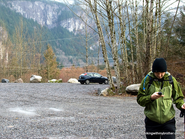
 Snow levels continue to push us toward hikes in lower elevations, largely confining us to lakes and river valleys. Resigned to the theme for the immediate future, we set out to tackle Lake Serene before spring thaws bring flocks of hikers back to this well-traveled trail.
 There's a lot to explore at Lake Serene and Bridal Veil Falls, and you can learn all about it in our book, Hiking Through History Washington. You'll find a trail map, route descriptions, history, and more
 for this and many more hikes throughout the State. Help support hikingwithmybrother.com and the work we do by picking up a copy!
To get there, take Highway 2 out toward Index. Keep an eye out for the Mt. Index road on the right near milepost 35. Take the Mt. Index Road for about a half-mile following the signs directing you to the Lake Serene Trailhead. -Nathan
Print Google Directions >>
7 Comments:
Any other comments on the difficulty and hazards (exposure) on this route? I have some strong team mates but inexperienced, and would consider this (the Bridal Veil Falls route) to mix it up if I knew it was safe
Ricardo,
We never felt unsafe on the way up, and there is no danger of slipping and falling down any big cliffs. Occasionally you will need to scramble up some stream beds or use some roots or branches to tug yourself up. There are some small rock walls that need to be navigated, but there is no need to actually "climb" them, usually you just walk around and find an easy way to walk up them.
But, as we say in the post, it's very steep and the trail disappears occasionally, forcing you to use your route finding skills. We had a GPS and never really lost our way. If you have one, bring and you should be fine.
Hope that helps!
Thank you Nathan. I did a quick look this evening (late) and found plenty of routes up to the right of the falls, but none moderate enough to take without a lot of daylight and a very confident group. I must have missed the "walk up"! But thank you, I am encouraged to try it again another day!
Many thanks for this hike description. I did this hike yesterday, and without your blog I wouldn't have known of the alternate route. I did the loop and greatly enjoyed it.
Greg -
So good to hear you enjoyed the loop! We think it is a fantastic way to approach the lake. Glad you found it!
Thanks for the great post. We did hike up to Bridal Veil Falls and Lake Serene last weekend. No snow in the lower elevation only some fallen trees. However, there was still a lot of snow in the high elevation. In fact, we had to cross some snow fields and there is one part that is very steep. We and other hikers had to traverse with utmost caution and we all found it difficult and a bit scary. So, don't go up in your regular sneakers. Have your snowshoes, yaktrax and poles ready for some good support. In our opinion you can easily slip and fall. But once you get to the lake it's all worthwhile! Impressive, beautiful and yes - serene! We were having lunch on the little wooden bridge (the only snow-free place) and watched the avalanches forming and falling on the other side of the lake.
Glad to hear your group stayed safe and enjoyed the hike! Thanks for the detailed update on current conditions. Very helpful! -Jer
Post a Comment