


Total Ascent: 3000ft
Highest Point: 5605ft
Total Distance: 8.6 miles
Location: N 47° 21.6900, W 121° 27.6900
Required Permit: Northwest Forest Pass
Difficulty: Hard
 Silver Peak has long enjoyed popularity amongst hikers, spanning back to the first recorded ascent by the US Geological Survey in 1899. Since that time thousands of snowshoers, mountaineers and backpackers have enjoyed the relative ease of access to one of the tallest peaks in the Snoqualmie region as well as the expansive views from the top. A visit to Silver Peak was long overdue, so we geared up and headed out the Pass.
There's a lot more to Silver Peak, and you can learn all about it in our book, Hiking Through History Washington. You'll find a trail map, route descriptions, history, and more for this and many more hikes throughout the State. Help support hikingwithmybrother.com and the work we do by picking up a copy!
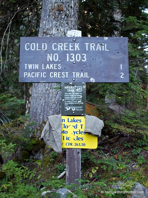
 To get there take I-90 to Hyak Exit 54 and head right. Take a left into the ski area parking lot and head toward the houses at the far end. Pass a small water treatment plant on your way to FR 9070. Follow to a T, and turn left. Find the Cold Creek trailhead roughly 2.5 miles from the beginning of the road on the left. -Nathan
Print Google Directions >>
0 Comments:
Post a Comment