


Total Ascent: 3700ft
Highest Point: 5629ft
Total Distance: 8.6 miles
Location: N 47° 25.0260, W 121° 28.8720
Required Permit: Northwest Forest Pass
Difficulty: Hard
 A gorgeous cloudless day begs for a climb up the side of a mountain that can deliver views measured in miles and landscapes vast enough to stretch beyond description. Luckily, we knew exactly the hike to live up to the expectations of the day. And so, since the snow had melted out sufficiently to allow easier access to the summit, we paid a visit to our old friend Granite Mountain.
At 5,629’, Granite Mountain is one of the most easily accessible and therefore one of the more popular summits in the Snoqualmie Pass region. The summit is graced with an operational fire lookout staffed by the Forest Service during the summer months. First established in 1920, the lookout began as a flimsy cabin that was rebuilt and elevated in 1924. When the snow melts, the cement foundations of the 1924 cabin can still be seen near the current lookout tower, which was built in 1955.
The hike begins on the Pratt Lake Trail #1007, rolling through lush forests of cedar and Douglas fir, frequently passing over creeks and streamlets. After about a mile the route meets the Granite Mountain Trail #1016 and the tenor of the trail shifts from an uphill amble to a thigh-burning workout.
 Navigate the rocky trail as it switchbacks through the increasingly dry terrain and catch the occasional glimpse of your eventual goal high overhead. As you gain elevation, trees thin and become more diminutive while ferns yield ground to bear grass and mountain blueberry. Eventually the trees are entirely left behind, the views are laid bare, breezes keep the bugs at bay during the summer months, and the trail grade relents slightly as the fire lookout comes into view. While snow is on the ground, a ridge route straight to the summit avoids most avalanche danger. As the snow recedes, the rocky ridge is less appealing than the formal trail route that snakes beneath the ridge before zigzagging up the bluff the lookout resides upon.
The views that begin hundreds of feet below culminate as you attain the lookout, snowy mountaintops spreading out with a mesmerizing immensity. Mt. Rainier dominates the skyline, in every way demanding attention and dwarfing Mt. Catherine and Humpback Mountain just across I-90 far below. If you can tear your eyes off Rainier, the beginnings of
 Keechelus Lake can be seen to the east, and Bandera Mountain quietly neighbors to the west. Looking north, the eye is drawn to the distinctive Kaleetan Peak, as well as Chair Peak and Mt. Stuart, while just below Crystal Lake and Upper Tuscohatchie Lake gleam invitingly in the sunlight.
This hike can be challenging. In summer months the sun beats down on exposed rocks and meadows, making the trail dusty without much relief in the form of extra water. Avalanches have taken the lives of hikers on Granite, so take extra caution during the spring. The trail is almost exclusively an uphill battle, so prepare for a long day. If necessary, take that extra break to fuel up for the final push – the views from the top are more than rewarding and well worth your perseverance. Of course, when there’s snow, getting down the mountain is quick and a lot of fun.
4 Comments:
Hi!
So I was wondering if you guys knew the winter route up Granite Mtn. I was looking at your map trying to figure it out. The description says the winter route is much harder and more of a direct route...so maybe like where the 4th pic is from the bottom up, instead of going right maybe it keeps going straight up the ridgeline?
We're doing it friday, well, attempting to do it friday, I was just wanting to have an idea in my head of where we needed to stay.
Thanks!
Wendy
Wendy -
It is all going to depend on the snow level and how much trail has been broken. There is no "winter route" that we've followed per se. Instead, where the trail switchbacks up the mountain to the ridgeline, we just cut straight up, skipping the switchbacks. More than likely you're going to follow in the showshoes of those who came before you. If you have a gps you can download our track, which follows the trail during the summer months.
Hope that helps, let us know if you have any more questions!
N
Nathan,
Thanks for posting the GPX of this -- I was a bit disoriented when hiking through the avalanche debris yesterday and this helped me and another guy find the shortest route back to the trail.
BTW -- the trail is mess; the lower part of the main avalanche chute took out the switchback before you get to the trail split (to Pratt vs. Granite), and it'll be interesting to see how well the upper part did with the substantial snow slide.
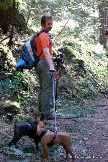
I gave up as the snow was just too slushy and was making slow progress even with Microspikes along the winter route to the left of the chutes. My dogs and I bailed at about 1,500 ft from the top, before the route turned westward for the SW ridge.
Ken, Thanks for the update on how conditions are. Sounds like quite a bit of damage was done over the winter. :(
Post a Comment