


Total Ascent: 3900ft
Highest Point: 6214ft
Total Distance: 6.6 miles
Location: N 48° 0.7800, W 121° 31.0740
Required Permit: Northwest Forest Pass
Difficulty: Hard
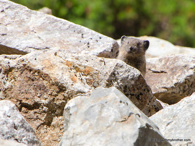
 This week we headed out to the Mountain Loop Highway to take on Vesper Peak, one of the many hikes in the area that remain snowbound most of the year. The hike description hinted at stunning views, a lake, and perhaps traces of a mining operation, but cautioned that the route was difficult and a little treacherous. Vesper Peak delivered on both counts – we got our views, but our legs paid for them.
 This hike is not for everyone. It is difficult, scaling over 4000ft in a little over three miles on rough trail. Some route finding skills are occasionally required, depending on how snow covered the trail is, and above Vesper Creek you can expect to encounter snow all year. With those caveats, we recommend this hike for strong hikers looking for a challenge. And, because it is difficult, there is a bit less traffic on the trail, so you can expect to enjoy the views in relative solace.
 There's a lot more to Vesper Peak, and you can learn all about it in our book, Hiking Through History Washington. You'll find a trail map, route descriptions, history, and more for this and many more hikes throughout the State. Help support hikingwithmybrother.com and the work we do by picking up a copy!
 To get there, take I-5 North to Exit 194. Follow Highway 2 for about two miles. Stay in the left lane and merge onto Lake Stevens Highway 204. Follow for two miles to Highway 9. Take the left onto Highway 9 toward Lake Stevens. In just under two miles, you’ll reach Highway 92 to Granite Falls. Take a right and follow for about nine miles to the Mountain Loop Highway. Take the MLH for almost 29 miles to the Sunrise Mine Road No. 4065 on your right. Follow the gravel road just under two-and-a-half miles to the end of the road and trailhead. –Nathan
Print Google Directions >>
3 Comments:
Love picture 6. It shows the dramatic relief of the area well.
Looks like a real challenge especially getting to the top. But your pics are amazing, it might convince me to give this trail a try.
I made it to the Headlee Pass sign and a little beyond with not enough time to explore further. Its awesome to be eye level with the top of Morning Star. I love this hike because its not straight up but a long gradual climb. On your way down to the car do you then realize the feat you just accomplished!!!
Post a Comment