


Total Ascent: 800ft (500ft in; 300ft out)
Highest Point: 900ft
Total Distance: 8.5 miles
Location: N 47° 26.5800, W 123° 23.4480
Required Permit: Northwest Forest Pass
Difficulty: Easy
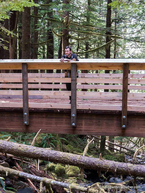
 Recently, we had a chance to return to the Olympic Peninsula to check out a popular hike that promised moderate elevation gain, old growth forests and the company of a river. The Lower South Fork Skokomish River Trail #873 managed to provide all this and more.
This popular hike has some of the best of the Olympics flora and fauna and is well worth a visit. Not surprisingly, the trail attracts hikers year-round as well as mountain bikers and equestrians, so expect a little company. The hike is approachable for hikers of every skill level, and while the initial 300ft hurdle might be a challenging
 for some youngsters, most of the route is a decent trek for kids. When we visited, large winter blowdowns made the hike a little more difficult, but we anticipate much of this will be cleared as summer gets into full swing.
 There's a lot more to the Lower Skokomish River Trail, and you can learn all about it in our book, Hiking Through History Washington. You'll find a trail map, route descriptions, history, and more for this and many more hikes throughout the State. Help support hikingwithmybrother.com and the work we do by picking up a copy!
 To get there, take I-5 south to Olympia to Exit 104 toward Aberdeen and Port Angeles. Follow US 101 along Hood Canal just over 27 miles through Shelton to Skokomish Valley Road. Take a left and follow the road five and a half miles to Forest Service Road #23. Head right and continue a little over nine miles to Forest Service Road #2353. Turn right and cross over the South Fork Skokomish River in less than a mile. Turn left at the four-way intersection and find the trailhead within a few tenths of a mile. –Nathan
Print Google Directions >>
4 Comments:
Sad to hear that Camp Comfort is gone. I remeber being there as a child 55 years ago. My father told stories of being part of the crew that built Camp Comfort. He spoke of using a froe to make shakes for the shelter from a fallen cedar tree.
Owen Kramer
Owen, thanks for sharing! We're always interested in the history and legacies that have grown up around the trails we hike. It's important to remember that trails are man-made, and there is almost always a story that goes along with their making. Thanks again, and always feel free to share your thoughts on trails we hike in the future!
I love the site guys! I am thinking about doing this hike soon. Yeah, I don't care about the weather. :) I would like to stay overnight. You mentioned the one unmarked campsite at SK004. Are there any other campsites there near the river?
Hi Jeb, I think you'll find other small camping areas along the river, SK004 was just large and notable. If you push on another 3.5 miles past where our route stops (near the old Camp Comfort) you'll make it to the Church Creek Shelter.
http://www.fs.usda.gov/recarea/olympic/recarea/?recid=47803
The info on fording the river pertains the the Church Creek Trail. You'll already be on the correct side of the river on the Lower Skokomish River Trail. Have fun! -Jer
Post a Comment