


Total Ascent: 1800ft
Highest Point: 3000ft
Total Distance: 8 miles
Location: N 47° 35.6040, W 121° 30.6000
Required Permit: Northwest Forest Pass
Difficulty: Hard
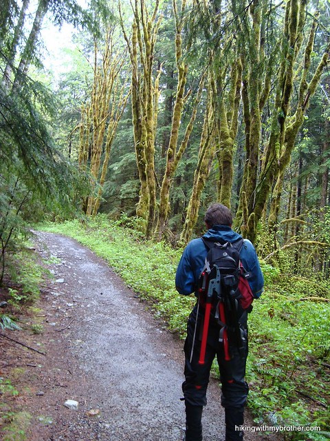
 Occasionally, we’ll plan a hike and afterward find that we overlooked an interesting side trip. Such was the case with Marten Lake, a lesser-known hike near Otter Falls. Despite some rain, we packed up and headed back to the Middle Fork Snoqualmie Valley to do some bushwhacking.
Today the trail to Marten Lake is largely abandoned, and although named for the pine martens once prevalent in the area, fishing now seems to be the main attraction. Knowing things would be a bit overgrown, we brought along some clippers to reign in the vegetation and clear out some blowdowns. Our work opened up a bit trail and made the hike
 back from the lake a lot easier.
Like Otter Falls, the Marten Lake Trail #1006 is an unmarked spur off the Snoqualmie Lake Trail #1002. Occasionally rock cairns or tags mark the trailhead, but there is no guarantee that these will be present. Instead, just keep an eye out for the bridge spanning Marten Creek a little over two miles down the trail, the first major bridge along the trail. You should not cross the bridge – the trailhead is about 100ft before it. Unfortunately, because the trailhead is unmarked, there are dozens of paths branching off the Snoqualmie Lake Trail, which adds to the confusion. When in doubt, pick one and head up, following the creek. Eventually, the trail will appear.
The steep and narrow path hugs Marten Creek through old growth forest for about a half-mile before spilling out into an open brush-filled canyon. The trail is fairly level here, and if the weather is good it’s possible to catch glimpses of the Middle Fork landscape below. The last quarter-mile of the trail is perhaps the roughest, as you crawl out of the alders and blueberries and switchback into forest. The water can make the route difficult to navigate, though the encroaching undergrowth often lends a helping hand to keep you on the trail. Eventually, you will reach the lake and the trail diverges into smaller paths snaking around the lakeshore. Do some exploring and find a good place for lunch.
 The landscape is impressive –Marten Lake lies in a large cirque at the base of the looming Rooster Mountain. Additionally, the area is quiet and isolated, making it a wonderful place to relax on a sunny day. On the down side, the short trail to the lake is rough and difficult to follow, putting it out of reach for more causal hikers. Still, the route does offer some good access to waterfalls along Marten Creek and the occasional view of Treen Peak and Mt. Garfield. While difficult, this is a great hike if you are looking to escape the crowds and see something off the beaten path.
To get there, take Exit 34 off I-90 and take a left on 468th Ave. Follow the road past the truck stop for about a half-mile until you reach SE Middle Fork Road, also known as Forest Road 56. Take a right and continue to follow the twists in the road until the pavement runs out. Continue on FR 56 for 12 miles, crossing the Taylor River. Once across, keep to the left for another quarter mile to the end of the road and the Snoqualmie Lake Trailhead. -Nathan
1 Comments:
The Forest Service is proposing to close Illabot Creek Rd in the North Cascades. This will completely remove all access to fishing at Marten, Slide, Enjar and King Lakes as well as remove hundreds of square miles of hiking and prime deer hunting from the Cascades.
I'm trying to get as many folks as possible to phone the Forest Service to ask questions and to protest the close in the limited time remaining for public comment. Would you be willing to make some calls and follow up with an email? Its a really big deal to those of us that love the North Cascades area and hope to continue to hike its peaks! If you are moved, perhaps you could ask other outdoors-minded folks to make calls also. Here are the numbers and email addresses:
Mt Baker Forest Service: 360 856 5700
Rob Iwamoto, MBS Forest Supervisor, riwamoto@fs.fed.us
Jon Vanderheyden, Mt Baker District Ranger, jvanderheyded@fs.fed.us
Don Gay, NEPA, dgay@fs.fed.us
Carol Gladsjo, Recreation, cgladsjo@fs.fed.us
Here is the FS site: fs.fed.us/nepa/nepa_project_exp.php?project=29892
Post a Comment