


Total Ascent: 1700ft
Highest Point: 2598ft
Total Distance: 8 miles
Location: N 47° 27.2760, W 121° 53.6820
Required Permit: Discover Pass
Difficulty: Moderate
 The most frustrating thing about Taylor Mountain Forest was the lack of clear access to Taylor Mountain itself. The last time we visited, we assumed – perhaps naively – that if a mountain appears in the name of a park one could expect to find a trail leading to the summit. Just like nearby Tiger, Cougar and Squak. We learned the hard way that Taylor Mountain is outside the park boundaries and gave up thinking we could reach the top. Thankfully, a helpful reader recently sent us directions to the mountain. Determined to finish what we’d started a few years ago, we headed back to Taylor Mountain.
 We found very little information on Taylor Mountain itself, which is the primary reason it took us so long to find our way to the top. Most sources focus on the forest surrounding the park, an experiment in mixing logging and recreational land use that has lasted for nearly 15 years, with marginal success.
Access to the summit follows logging roads past a number of junctions. For the first quarter mile you will be on Forest Road 35900, before turning up 35920. At most of these, continuing to head uphill is the right way to go. The only exception is at roughly the one mile mark where Road 35920 heads downhill.
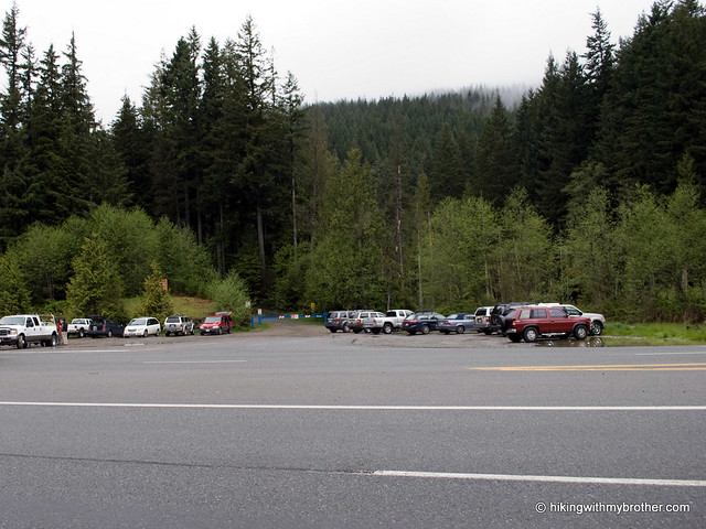
The trickiest part of this hike is getting to the trailhead. There is room for a few cars in front of the gate, but there are a few “No Parking” signs posted, so we opted to park in the nearby Tiger Mountain Summit lot. Unfortunately, parking here requires a quick dash across the highway to get back to the gate, which can be a bit of a hassle. Once you’re at the gate, it is fairly smooth sailing under the power lines and up the mountain side. Amble through alders and young hemlock already edging out the salal and salmon berry that took over after the area was logged. As you hike, keep an eye out for wildlife, we encountered more than we expected, including quite a few hummingbirds.
 This is not the best hike we’ve ever been on. We’re no strangers to walking along logging roads to get to where we are going, but the road to the top does not lend that feeling of getting out into nature that one usually hopes to find on the trail. The route goes through large swaths of recovering clear cuts and culminates in an alder covered summit that is light on views. Some interesting perspectives on Tiger Mountain and Highway 18 are about all you can expect out of this trip, though the network of logging roads are in good condition and could keep the mountain biking set interested for quite some time. And, if you’re looking for something quiet and very close to the city this might just fit the bill.
To get there, take I-90 to Exit 25 Highway 18 junction. Follow Highway 18 south for about 5 miles to the signed Tiger Summit Trailhead parking lot on your right. Park here. Access to Taylor Mountain is on the other side of Highway 18; you will need to cross and walk north a few hundred feet to blue-gated Road 35900. -Nathan
0 Comments:
Post a Comment