


Total Ascent: 2700ft
Highest Point: 5100ft
Total Distance: 8.0 miles
Location: N 47° 26.556, W 121° 9.780
Required Permit: Northwest Forest Pass
Required Permit: None
Difficulty: Moderate
 We found time this summer to head back to the Salmon La Sac area to do some more exploring in that area. After climbing Davis Peak last year, we wanted to see what else the area had to offer. After some research we settled on Polallie Ridge Trail, an often overlooked trail that promised views of nearby mountaintops, a small alpine lake, and a decent workout.
 Polallie means “dust” or “fine powder” in Chinook Jargon, and like so many of the trails in this area, the trail tends to be fairly dusty in the high summer. Back around 1921, a fire lookout cabin was built on the high point of Polallie Mountain. In 1936, the cabin was replaced by a 25-foot tower which was in use only until 1947 when the site was abandoned. Faint traces of the former lookout remain today. Lookouts would have used the Polallie Ridge Trail to access the lookout site and carry in supplies.
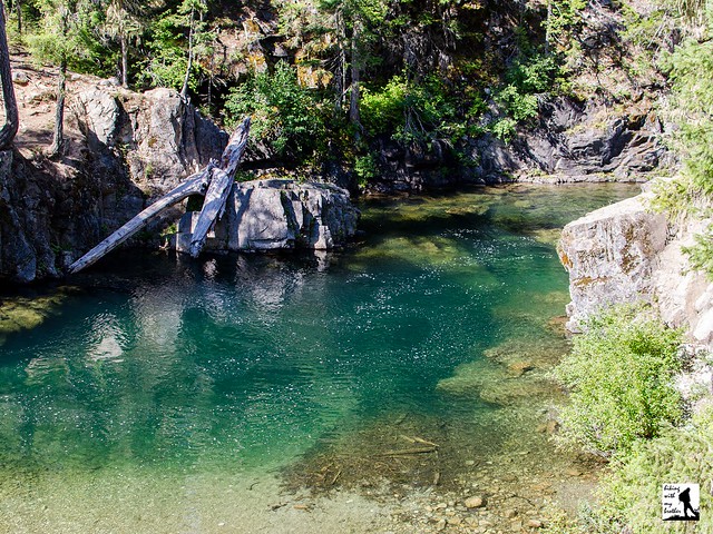
From the trailhead, the Polallie Ridge Trail #1309 begins without much fanfare, briefly following the Cooper River for just about .1 mile to the junction with the Cooper River Trail #1311. Head right, away from the river toward the next junction with the Waptus River Trail #1310. Here, stay left to begin your ascent up the ridge, following the rocky trail as it climbs through stands of pine and fir. While some sections of trail are steeper than others, the route is almost entirely an uphill battle. Occasionally the trail passes through small meadows or talus fields, which provide brief glimpses into the surrounding landscape. However, the first real views do not come until you cross into the Alpine Lakes Wilderness at 2.8 miles. Around this point the trail briefly levels out and the trees thin enough to see Mount Daniel, Cone Mountain, Sasse Mountain, Jolly Mountain and Hex Mountain as well as the valley below.
 Beyond the views, the trail returns to the trees and continues to climb for about another mile before dropping down to Diamond Lake at 4.0 miles from the trailhead. The tree-lined shore offers several campsites for those looking the spend the night, as well as a number of spots to settle in and enjoy stillness of this pretty alpine lake. Those looking for a longer day can continue to follow the trail past the lake for another three miles to the former lookout site.
Less popular than other nearby trails, Polallie Ridge is a good alternative for those hikers that are looking for solitude and a challenge. During the summer, some hikers will want to avoid this steep, hot climb up a loose and rocky trail. At the same time, during the late spring and early summer, the pocket meadows will be brimming with wildflowers and the views are well worth the effort need to tackle this hike.
To get there, take I-90 to Exit 80. Head left over the freeway following Bullfrog Road to SR 903. Follow 903 16.6 miles through Roslyn and along Cle Elum Lake to FR 4330 just beyond the Salmon La Sac guard station. Just beyond the station, head left over the Cle Elum River onto FR 4316-111 toward the Salmon La Sac Campground, following it for .6 miles to the trailhead –Nathan
Print Google Directions >>
0 Comments:
Post a Comment