


Total Ascent: 2900ft
Highest Point: 6856ft
Total Distance: 10 miles
Location: N 46° 57.408, W 121° 27.162
Required Permit: None
Difficulty: Moderate
 A few months ago, before the snows began to creep down the moutainsides, we had a chance to return to the Highway 410 area to tackle a summit we’d heard great things about. Boasting a former lookout site, big views of Mt. Rainier and the surrounding landscape, and access to some pristine alpine wilderness areas, it was a hike that had long been on our list. Despite its proximity to the Crystal Mountain Ski Resort, our hike up Norse Peak delivered everything it promised and more.
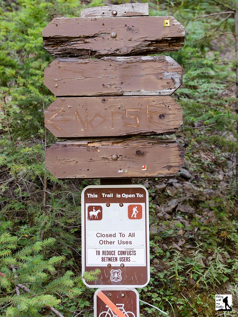
 With its front porch views of Mt. Rainier, hikers and climbers have been finding their way to the top of the 6,856-foot Norse Peak for a long time. Originally dubbed “Swede Butte” in reference to a local ranger’s nickname, Forest Service officials ultimately decided the name was a little too undignified and renamed it Norse Peak. In 1931, a lookout cabin was built at the summit where it remained in use until it was destroyed in 1956. Today’s trail follows the same route used by lookouts to access the cabin and haul in supplies. In 1984, Congress established the Norse Peak Wilderness, preserving what is now more than 50,000 acres of wilderness.
The Norse Peak Trail #1191 begins directly from the side of a forest road, climbing steeply through a young forest of fir. As you continue to switchback up the narrow and dusty trail, the forest beings to thin, and after about a mile, you can catch the first glimpses of the views to come. Peer down at the bustling lodges and parking lots of Crystal Mountain Resort and up to the restaurant perched atop of Crystal Mountain. At about the two mile mark, you’ll reach the junction with the Goat Lake Trail #1161. Keep right and push upward through patches of trees punctuated with alpine meadows that burst with wildflowers in the late spring.
 After roughly four miles of climbing, reach the ridgeline and the junction with the Norse Peak View Trail 1191.1. Continue following the ridgeline up another half-mile, crossing into the Norse Peak Wilderness before reaching the summit. Little evidence of the lookout cabin remains beyond bits of glass and stray wire, though a half-circle of rocks provides a comfortable place to take in the big views. Settle in to enjoy the ocean of moutaintops stretching out in all directions. Mt. Rainier dominates the western skyline and looks almost close enough to touch. As you swing northward, look for the snow-capped Olympic Mountains in the distance, before picking out Mt. Stuart and Glacier Peak. Turn east to find the aptly named Basin Lake below and Fifes Peaks and Goat Peak in the distance. Mt. Adams is to the south along with nearby Gold Hill and on very good days, you can just make out the top of Mt. Hood.
 The views on this one are tremendous and more than worth the effort to reach them. Admittedly, it is possible that the views from the top of Crystal Mountain are similar, but you’re guaranteed to have a lot less company on Norse Peak. Most hikers should not have too much difficulty with this ascent, and for those looking for more distance, it’s easy to extend this hike out to Big Crow Basin or Goat Lake. Between the big views, prominent wildflowers, easy access to the Pacific Crest Trail, and the nearby equestrian camp, this hike sees a lot of boots and hooves.
 Come prepared to share the trail during the summer months.
To get there, take I-5 south to Highway 18 Exit 142A. Follow Highway 18 into Auburn and take the SR 164 exit. Head left on SR 164 through Enumclaw to SR 410. Head left onto SR 410 for 32.5 miles to Crystal Mountain Road (FR 7190). Turn right and follow the road for 4.3 miles to the junction with FR 7190-410 (also known as Gold Hill Road). Park on the shoulder and hike up FR 7190-410 about 0.2 miles to the trailhead. -Nathan
Print Google Directions >>
2 Comments:
Thanks for this. This looks great! Would this be accessible in the snow?
Yes, since the hike starts at the junction of Gold Hill Road and Crystal Mountain road you could do this as a snowshoe. However, we're not 100% sure what the parking situation would be like. I think it would just depend on the snow-level and on whether the plows dig out any of the bottom part of Gold Hill Road, which is where we recommend you park. Hope that helps, and let us know how it goes!
Post a Comment