Total Ascent: 700ft
Highest Point: 1440ft
Total Distance: 11.5 miles
Location: N 47° 31.0440, W 121° 27.2400
Required Permit: None
Difficulty: Easy
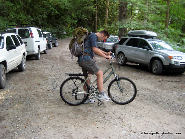
 Occasionally, after flipping though guidebooks and finding a hike we want to do, we’ll find that conditions have changed and many miles of road walking are now necessary to access a suddenly distant trailhead. Not easily deterred, this week we came up with a creative solution to our dilemma: incorporating mountain bikes into our hike to cut down time spent plodding down forest roads! Wanting to experiment with the concept before fully committing ourselves to a bike-hike, we decided to head out the Middle Fork Snoqualmie Valley and test out a currently closed section of Forest Road 56 leading out to the Dingford Creek Bridge.
Typically, a high-clearance vehicle can drive FR 56 to the
 Dingford Creek Trailhead, however, washouts have temporarily closed the road just across the Taylor River. Fortunately, volunteers working at the Goldmyer Hot Springs still have access to the now locked gate allowing supplies and manpower in and out of the area with relative ease. Currently, efforts are underway to repair this portion of FR 56, but no firm schedule has been determined. We were assured by the Forest Service that the road would open up soon, perhaps as early as this fall.
Our bike trip out to the trailhead was more difficult than we had anticipated. Rocky washouts created troublesome obstacles and unexpected inclines slowed our pace. While the bike ride made short work of friendly sections of the forest road, we found ourselves pushing our bikes up hills and rocky gullies. The scenery was pleasant enough, with maples, alders and ferns lining the roadside. However, by the time we reached our destination, we’d easily expended as much energy as we would have walking the road.
Once at the trailhead, we tromped down to the Taylor River to check out the Dingford Creek Bridge. This turned out to be a pleasant little spot, with more than enough room to support a few campsites. Crossing the bridge connects with the Middle Fork Snoqualmie Trail #1003 and access to Goldmyer Hot Springs. Find a path down to the riverside and enjoy a snack.
Hauling the bikes out to Dingford Creek really helped us to realize how much we prefer hiking to biking.
Had the road been in great shape, we might have had an easier time of it, but as it turned out, we ultimately decided that bike-hikes were best left to better-maintained roads, which might leave us with some energy for the climb up. Hikes such as Hester and Myrtle Lakes – both accessible from the Dingford Creek Trailhead – are still on our list, we’ll just have to leave the bikes behind and plan for a longer day. To get there, take Exit 34 off I-90 and take a left on 468th Ave. Follow the road past the truck stop for about a half-mile until you reach SE Middle Fork Road, also known as Forest Road 56. Continue to follow the twists in the road until the pavement runs out. Continue on FR 56 for 12 miles, crossing the Taylor River. Once across, FR 56 veers to the right while the Taylor River Road continues another quarter mile to the Snoqualmie Lake Trailhead. Find a spot to park at the gate and hit the trail. -Nathan


1 Comments:
Great pictures, guys.
Post a Comment