


Total Ascent: 700ft
Highest Point: 1500ft
Total Distance: 6 miles
Location: N 47° 32.2440, W 121° 34.5240
Required Permit: Northwest Forest Pass
Difficulty: Easy
 A few weeks ago, we found some extra time to wander down the most well maintained portion of the CCC Road Trail. In the past, we hiked the wilder sections of this former logging road, so to finish it out, we returned to the Middle Fork Snoqualmie Valley to explore its final leg and visit a former fire lookout site; Nordrum Lookout.
The trail abruptly begins off FR 56, without so
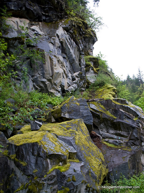
 much as a widening in the road for parking. If you decide to start at this end of the trail as we did, try to find an unobtrusive place to park nearby. A small sign marks the “trailhead.” The path leads into a mossy mixed forest of alder, hemlock and cedar. Streams and rivulets frequently cross the trail, and occasionally the canopy opens up to reveal views of Mt. Garfield and Russian Butte. Unlike other sections of the CCC Road Trail, trail #1264 often wanders away from the old roadbed, crossing boardwalks and bridges erected over small streams and swamps. We passed by volunteers working to keep the trail in good shape – a stark contrast to other portions of the trail which are rocky, overgrown, and washed out.
The CCC Road as a long history that we have previously related, beginning with its Depression-era construction to its current recreational usage. Anyone who has ever camped at the Middle Fork Campground has probably taken a stroll down this gentle trail, but relatively few have followed the faint, mostly overgrown path up to the old Nordrum Lookout site.
 The lookout began in 1934 as a cabin on a recently logged hillock that suddenly found itself with an expansive view of the Middle Fork Valley. Within a few years, a tower was added, presumably to stay ahead of the rapidly recovering vegetation. By the 1950s, other lookouts on much taller perches made Nordrum obsolete, and the site was dismantled. Today, there is little more than a clearing with moss-covered foundation stones protruding with rusted metal.
While the route to the lookout site is unsigned, it is easily located. There is only one major junction on the trail, found just before reaching the Middle Fork Campground. Continuing straight will lead to the campground, while veering to the right will take you back to FR 56 and the Middle Fork Trailhead parking lot. Instead, take a left up the hill following the faintest of paths through the ferns to the lookout site. It is a short jaunt uphill to stand on a little
 piece of history.
This hike is easily approachable for just about anyone. Very little elevation gain makes this a nice stroll through the woods, and lends an appreciation of what the Middle Fork has to offer. The hike up to the lookout site is more challenging, but it is also very short and makes a great little side trip for those itching to pull a little extra out of this hike. Although this portion of the CCC trail is on the tame side, it manages to do the best job of showcasing the natural beauty of the area.
To get there, take I-90 to exit 34 and take a left onto 468th Ave. Follow the road past the truck stop for about a half-mile until you reach SE Middle Fork Road, also known as Forest Road 56. The road has a few twists and turns, but continue onward until the asphalt ends at Mailbox Peak Trailhead. Press on for just over 10 miles to the trailhead or 12 miles to Middle Fork Campground, both on the left. -Nathan
0 Comments:
Post a Comment