Total Ascent: 450ft
Highest Point: 2400ft
Total Distance: 18 miles
Location: N 47° 23.5620, W 121° 28.4400
Required Permit: Discover Pass
Difficulty: Easy
 Snaking along mountainsides from North Bend to Snoqualmie Pass and beyond, our hikes often involve treading on some portion of Iron Horse State Park. Sometimes referred to as the “backbone” of the Mountains-to-Sound Greenway, the 21 miles of the Park that lie between Hyak and the Cedar Falls Trailhead at Rattlesnake Mountain are quite popular, seeing thousands of hikers and bikers a year. We decided it was time to tour this portion of the Park. Because we’d already hiked sections of it, we opted to bike and experience the trail a little differently.
 The 110-mile long Iron Horse State Park follows the railbed of the Chicago, Milwaukee, St. Paul & Pacific Railroad. The park is the developed portion of the John Wayne Pioneer Trail, which continues out to the Idaho border. The Milwaukee Railroad went bankrupt in 1977, and Washington State slowly acquired the land. By the mid-1980s the process of converting the railroad to a multi-use trail had begun.
One of the most popular attractions over the years has been the Snoqualmie Tunnel, often referred to as Tunnel 50. The two-mile tunnel was bored between 1912 and 1914 by 700 men working from either side and meeting in the middle. After its conversion to a park, the tunnel made for a spooky addition to a hike or ride – dark enough to require a flashlight to navigate, and complete with dripping water, echoing conversations, and the chill of being underground.
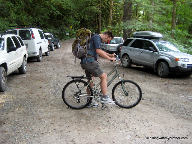
Unfortunately, there is no real detour around the tunnel closure, so we had to improvise. We parked at the Annette Lake Trailhead and pushed our bikes two-thirds of a mile to the Iron
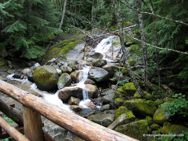
 Horse Trail. Once we got going the ride was a breeze, passing old snow sheds and depots and going over trestles, the relics of the Milwaukee Railroad that add flavor to the flat trail. Although it’s impossible to escape the dull roar of I-90, dozens of creeks and streams offer nice stopping points to trade the noise for the sound of rushing water. A number of campsites also dot the trail, offering a few comfortable places for the long distance hiker or biker to bed down for the night.
Iron Horse State Park is a great way for anyone to experience the Snoqualmie Valley. Whether hiking, biking, jogging or just passing through on your way to another destination, it has something to offer everyone. The wide path also makes this a great way for a larger group to do an activity together and avoid walking single file down the trail. The compact gravel means that the park is stroller and wheelchair friendly.
To get there, take I-90 to exit #32 and turn right, following Cedar Falls Road three and a half miles to the trailhead. Alternatively, when the tunnel reopens, take exit #54 and turn right to Highway 906, also known as Road 2219. Take a left for a half-mile following the signs to Iron Horse State Park. -Nathan