


Total Ascent: 1600ft
Highest Point: 3000ft
Total Distance: 8 miles
Location: N 47° 29.2920, W 121° 56.8410
Required Permit: Discover Pass
Difficulty: Moderate
 We’ve logged a lot of time on Tiger Mountain. Most of this has been up to West Tiger #3 via the Cable Line, but after hiking to Poo Poo Point we realized there was a lot of the mountain we’d yet to explore. With snow falling on the streets in Seattle, we thought something a little closer to home was the right choice, so we packed up and headed out the Highway 18 and East Tiger Mountain.
 The roughly 14,000 acre Tiger Mountain State Forest was formed in 1981. Shortly thereafter, in 1989, the Tiger Mountain Natural Resource Conservation Area was formed, adding further protections to the 4,400 acres of the most popular recreation areas of Tiger Mountain. The Washington Department of Natural Resources (DNR) manages the mixed use of the forest, including the maintenance of approximately 70 miles of trails and roads.
The journey up East Tiger is entirely on gravel maintenance roads giving access to the various radio towers and antennas that reside at the summit. Most of these roads are built on the roadbeds of logging roads dating back to the 1920s. This means that while East Tiger is the tallest of the Tiger family of peaks, standing just over 3,000ft, its roads have a very mild grade, gently guiding you up the mountain. Occasional views of Taylor Mountain can be seen through the mixed second-generation forest that lines both sides of the road, though the real prize is the broad vista at the end of the hike, showcasing Mt. Rainier, valleys and the Puget Sound.
Or so we’re told. There were no views for us because the low-lying clouds and fog reduced visibility to a few hundred feet. As we gained elevation, our hike became more of a slog as we found ourselves sinking past our knees in the powdery snow. Upon reaching the summit, strong winds and increasing snow flurries made our stay very short.
East Tiger is another great trail for snowshoeing, biking, or trail
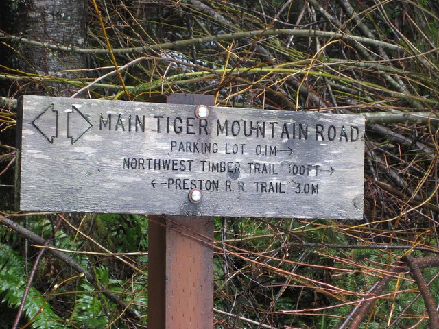
 running with lots of room to share the road. At the 3 mile mark, the road intersects with the Main Tiger Mountain Road, giving access to other peaks and trails in the Tiger Mountain State Forest. The proximity to the city also makes this a great destination for a quick tromp through the woods while avoiding the crowds at West Tiger.
To get to East Tiger, take I-90 to Exit 25 Highway 18 junction. Take Highway 18 south for about 5 miles to the Tiger Summit Trailhead parking lot which will appear on your right. -Nathan
Print Google Directions >>
2 Comments:
I did this hike this morning, thanks for the tip!
Nice! Did you run into much snow?
Post a Comment