


Total Ascent: 1000ft
Highest Point: 2100ft
Total Distance: 1.75 miles
Location: N 47° 32.5260, W 121° 31.9440
Required Permit: Northwest Forest Pass
Difficulty: Moderate
 Sometimes you just want to have some adventure. To go places perhaps a little more wild and remote than a well-worn footpath to a scenic overlook or civilized waterfall. A trek out to Stegosaurus Butte looked to fit the bill. There we hoped to see if Manning’s vision of carving out a “family hike” up the side of this smallish granite ridge next to the Middle Fork Snoqualmie River had become a reality, or if the proposed trail had languished and faded beneath the advancing forest.
To get there, take Exit 34 off I-90 and take a left on 468th Ave.
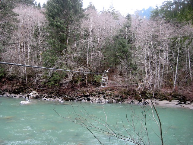
 Follow the road past the truck stop for about a half-mile until you reach SE Middle Fork Road, also known as Forest Road 56. The road has a few twists and turns, but continue on until the asphalt ends at Mailbox Peak Trailhead. Beyond, some washouts have occurred this season and while the road is passable, there are some deep potholes and places where the road has been severely eroded. Forge on for a little over 10 miles to the well-signed Middle Fork Trailhead parking lot. The Middle Fork Trail #1003 begins at the north end of the lot and almost immediately spans the river via the Gateway Bridge constructed in 1993 in an effort to promote recreation in the Middle Fork area.
After crossing the bridge, a sign that reads “Main Trail” directs you to the left. Head instead to the right along a less traveled but still discernable trail. Tromp along the rocky banks of the Middle Fork Snoqualmie for a few hundred yards over and around logs and boulders blocking the trail. Rounding the end of the butte, the trail curves up and away from the bank and abruptly seems to end. Simply continue forward and away from the river and quickly find the roughly hewn trail marked with bright fluorescent pink tags.
 A great deal of trail construction seems to be underway, with portions of the trail defined by logs and branches, and blowdowns cleared or circumvented. While Manning’s concept is still a work in progress, between the boot-trodden outline of the path and the trail markers we never lost the trail. The bulk of the hike forgoes niceties such as switchbacks - trailblazers instead opted to cut a leg-burning bee-line straight to the top. Fortunately, the trail is short and the almost brutal ascent is over quickly, yielding great views of the massive and imposing rock face of Mt. Garfield to the north and Preacher Mountain to the far south. Rainy Creek flows through the valley to the south, beneath a prominence unofficially known as “The Pulpit”. Settle down for a snack in the grassy open areas before breaking out the hiking poles to help navigate the steep descent back down. - Nathan
Print Google Directions >>
0 Comments:
Post a Comment