Total Ascent: 1400ft
Highest Point: 2200ft
Total Distance: 15 miles
Location: N 47° 57.0480, W 121° 25.9753
Required Permit: None
Difficulty: Hard
 After an aborted attempt to visit the Mineral City town site a few months back, we searched for more information on the hike. Recently, armed with better knowledge and plenty of time, we returned to the Index-Galena Road washout and began exploring.
It’s not clear exactly when Mineral City came into existence – it began as a collection of mining claims sometime in the 1870s. Back then, miners and prospectors were exploring the Silver Creek area for gold, silver, or anything else they could dig up and sell for a profit to the burgeoning industries in nearby Everett and Seattle. Before it was known as Mineral City, the mining camp was called Silver City, which is listed as existing as far back as
 1880. In 1882, a road was cut to the nearby Galena, which, in turn, led to increased traffic to Mineral City, and probably made it possible for Joseph L. Pearsall to get there. By 1889, Pearsall was living in Mineral City, and he filed the Monte Cristo claims that same year. His early successes there quickly created a gold rush. Thus fueled by the rush, Mineral City grew, and by 1890 the town plan included 15 city blocks.
Inevitably, the wealth of Monte Cristo ran dry and other claims in Mineral City stayed small. Despite boasting two hotels, saloons and something of a population, the town began to slump. In 1914, a storm destroyed the Galena-Mineral City road, which was not rebuilt until 1929, and effectively killed the community. Over time, floods washed away virtually all traces of the former mining town. In the 1970s the Galena-Mineral City Road was expanded to access timber in the Silver Creek Valley, destabilizing the mountainside, and in 1980 nearly a quarter-mile section of the road slid down into Silver Creek. It was never rebuilt.
Today, one can hike to the town site along this same road, which is largely still intact. However, in what seems to be a running theme for this area, floods in 2006 washed out large sections the Index-Galena Road, making it much more difficult to access the hike. Now, instead of driving to Galena, one must either park at the washout, or drive all the way around and access Galena via Jack Pass on miles upon miles of forest road.
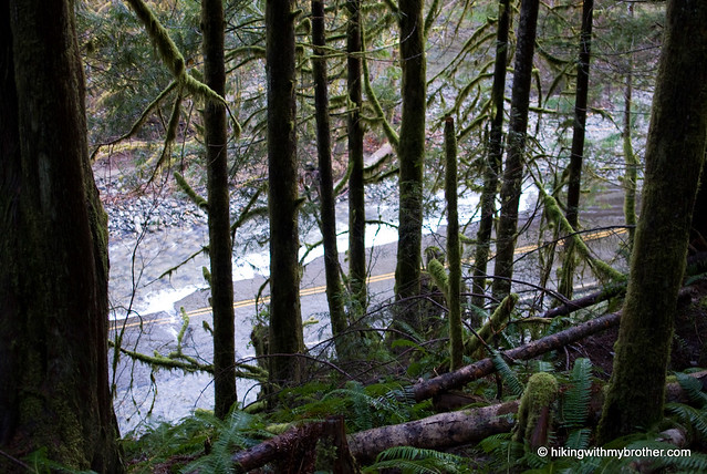
 We chose to navigate the washout by way of a trail that has been built to accommodate property owners who have been cut off since the 2006 storm. The trail begins where the road ends and is heavily marked. More than once the trail returns you to sections of asphalt that are still intact. The trail can be muddy and has some ups and downs to it, but it is not so bad that if we had it to do over again, we couldn’t haul some bikes over the trail so we could breeze over the miles of road on the way into Galena.
Once you reach the bridge, cross the river and veer right onto an unsigned road. After about a mile, you’ll hit a fork in the road and a rocky barricade. Ignore the road heading up hill and push on to the barricade. Not far beyond is the 1980 washout. The large swath of missing mountainside looks more intimidating than it is – although the rock is somewhat loose, much of it has been compacted by use, and shouldn’t pose too much of a problem for most hikers. The road is fairly easy to follow after this point, though various ravines have lost their bridges, and makeshift replacements are not always available – more than once one is forced to clamber down the edge of a gully and poke around for the best way back up.
Despite the added effort, the trail is more than worth it. Silver Creek is your constant companion as you cross mammoth bridges built to hold fully loaded logging rigs. Waterfalls are abundant as creeks and streams filter down from the hills above. You’ll pass a number of adits – horizontal mines cut straight back into the rock – as well as a number of mining claims, not to mention a crumbling bus and large cabin with a sign cautioning hikers of a wounded bear.
Eventually you’ll reach the outskirts of the town site, marked by the words “Mineral City” chainsawed into a log. There is almost nothing here. Poke around and you may find the tree with the word “Mill” carved into it marking the location of the Mineral City mill. A large open area, some scattered stones and a few piled logs – more likely from timber works of the ‘70s than remains of Mineral City’s heyday – are all that suggest human activity. From here, you can catch glimpses of Sheep Gap Mountain and Silver Tip Peak to the north and Hubbart Peak to the east. Crested Butte is to the northwest.
For more adventure, cross the creek and continue on the road. Shortly, you’ll be find the single log that spans Silver Creek, and beyond still more sections of Mineral City – now only large swaths of leveled ground filled with young forest. The road beg
 ins to degrade at this point, but the stalwart can bushwhack their way up to Poodle Dog Pass and down into the Monte Cristo Basin.
This is a great hike, with a lot to see and do along the way. Remote, scenic, not too strenuous, and, thanks to the washout of the Index-Galena Road, unlikely to include much company. The washout does add about five miles to the overall hike, making it much more of an undertaking than it will be when the road has been repaired. But, if you have the time, take a trip out to Mineral City and take a hike through history.
To get there, take Highway 2 to the Index turnoff. Drive past Index and continue on the Index-Galena Road until it ends a little over six miles from Highway 2. Park and find the trail up the hillside trail nearby. -Nathan