


Total Ascent: 3100ft
Highest Point: 6278ft
Total Distance: 3 miles
Location: N 47° 27.5340, W 121° 24.9900
Required Permit: Northwest Forest Pass
Difficulty: Hard
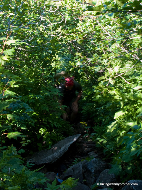
 A gorgeous day demanded that we find a high perch to survey the landscape. Luckily, we had just the hike in mind, a summit that we’d noticed on our way up Guye Peak: Snoqualmie Mountain.
We highly recommend this hike for those that are up for a little punishment. We definitely met some folks on the trail, but they were a tiny percentage of the hikers clogging the parking lot bound for Snow Lake. There is plenty of room at the top to find a place to settle down, argue about the names of peaks, and enjoy a hard-earned lunch.
There's a lot more to Snoqualmie Mountain, and you can learn all about it in our book, Hiking Through History Washington. You'll find a trail map, route descriptions, history, and more
 for this and many more hikes throughout the State. Help support hikingwithmybrother.com and the work we do by picking up a copy!
 To get there, take I-90 to exit 52. From the exit, take a left onto Alpental Road for about two miles to a large gravel parking lot. The dirt road is across the road to the right, near the Snow Lake trailhead. -Nathan
Print Google Directions >>
3 Comments:
Looks like a great hike! I've always wanted to make it up there, and then explore Cave Ridge. definitely on my list.
Have you guys thought about hiking Glacier Basin, near Monte Cristo? I'm thinking of riding my bike into Monte Cristo, and then hiking up to the basin.
Vlad - we have, along with Monte Cristo and a number of other hikes on the Mountain Loop Highway. That will come up in the next year or so. We have a couple of things left in I-90 then we'll focus exclusively on Highway 2 for awhile. The Mountain Loop Highway is next on our list after that! Let us know how it Glacier Basin goes!
Hi Nathan - that's cool, I admire your comprehensive approach to Pacific NW hiking!
The Glacier Basin hike was really good, although part of it is a scramble comparable to Snoqualmie Mtn. Here's my trip report: '
http://www.wta.org/go-hiking/trip-reports/trip_report.2010-08-15.6640024367
Post a Comment