


Total Ascent: 1700ft
Highest Point: 4200ft
Total Distance: 11.5 miles
Location: N 47° 27.5100, W 121° 21.1620
Required Permit: Northwest Forest Pass
Difficulty: Hard
 Gold Creek is one of the most popular snowshoe routes in Snoqualmie Pass, attracting thousands of snowshoe-clad hikers every year. Now that the snow has finally made its last curtain call of the season, we decided it would be a perfect time to explore Gold Creek Valley.
The Gold Creek Trail #1314 started out in 1898 as a prospecting trail
 following the creek to various claims along the ridges of the valley. As times changed and mining gave way to recreation, the trail deteriorated and all but disappeared from neglect. In the 1970s, the Forest Service rescued the route and for the next 30 years, snowshoers and hikers enjoyed the gentle trip through the valley. In 2002, large swaths of the trail were destroyed by a massive avalanche that tumbled down one side of the valley and splashed up the other side, leaving thousands of downed trees in its wake. Today, the Forest Service and volunteers have craved something of trail out of the debris, but portions remain a challenge to navigate.
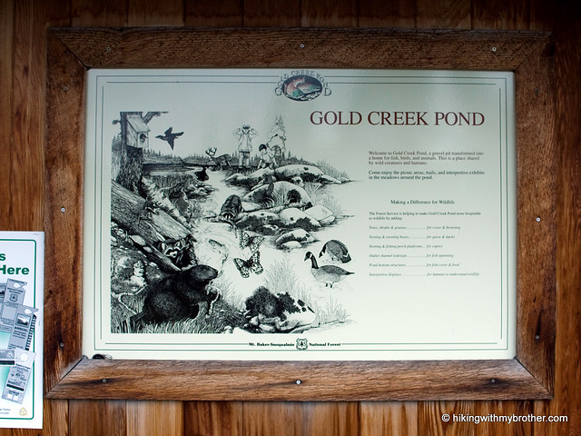
The trail begins along the Gold Creek Pond Trail, a stroller-friendly asphalt loop around Gold Creek Pond. Signs quickly direct you off the pavement and onto a series of private roads that meander for about a mile before you reach actual trail. Once on the trail, things are fairly level and pleasant, Gold Creek keeps you company for the first two miles as you travel through thimbleberry and vine maple, which slowly yield to hemlock and cedar. A little over two miles into the trail, just after you enter the Alpine Lakes Wilderness, you’ll reach the 2002 avalanche area; an abrupt wasteland of rocks and fallen logs. On the plus side, the avalanche stripped the vegetation from the cliffs above and exposed a few small waterfalls that tumble down the rocks to meet up with Gold Creek.
 After you navigate the avalanche area, you’ll need to ford Gold Creek. Later in the season, when the water is low, the crossing can be down without getting your feet wet. When we did it we were up past our knees in the icy water, but it was not nearly as difficult for us as Sunday Creek. Once across the trail continues for another mile and two more creek crossings before “ending” with a sign pointing you toward to Alaska and Joe Lakes while glibly stating, “trail not maintained beyond this point.” They’re not kidding.
The rocky trek up to Alaska Lake is only a mile, but demands a thousand feet of elevation gain. The bootpath follows Alaska Creek through groves of slide alder and vine maple to the shores of Alaska Lake, alternating between climbing up abandoned creekbeds and clambering over fields of talus. It is not an easy trek, but Alaska Creek is little more than one long waterfall cascade, and the views of Gold Creek valley and Alta Mountain alone are worth the attempt. Alaska Lake itself is a nice little destination, tucked beneath Alaska Mountain and the Pacific Crest Trail, with a couple of nice campsites along the lakeshore. For those looking for the extra adventure, push onto the PCT for an alternative approach to Joe Lake, rather than the bushwhack-heavy route below.
Aside from the creek crossing and the avalanche area, this
 trail is a pleasant stroll to the Alaska Lake junction. For those looking for an easy hike with a bit of distance, hiking to the junction and back is an approachable ten-mile jaunt. The trip up to Alaska Lake, however, is challenging but ultimately rewarding, well worth the slog up the mountainside. Between the paved Gold Creek Pond trail and the rugged Alaska Lake scramble, there is something for everyone on this hike.
To get there, take I-90 to the Hyak Exit 54 and take a left. After you pass under the freeway, take a right on the frontage road, Forest Service Road 4832. Follow the road for approximately 1.5 miles to the signed Gold Creek Road, Forest Service Road #142. Turn left and follow the road for a half-mile to the Gold Creek Pond parking lot and trailhead. - Nathan
1 Comments:
Nice article... we spent two nights camping at Joe's Lake back in 1991. I remember is was an all day affair to get there, but it was worth it. We got tired of eating those delicious cold water trout. You didn't have to be much of a fisherman to catch them, and they had pink meat. Since then I've been on the Gold Creek Trail just to the lake trailheads and back (5 in 5 out) and I never get tired of that hike. Might do it again in a couple weeks. Thanks for the article.
Post a Comment