


 It’s not every day that we stumble onto something that isn’t in any of the guidebooks, so we wanted to take a second to share it. A few weeks ago, we doggedly made our way to Green Mountain via the CCC Road – a path that is both too long and very boring. We enjoyed the hike up the mountain, but not the approach to the trailhead, so we resolved to do some snooping around. After consulting a few maps and hearing some rumors of hikers attempting to find a more direct route to the trailhead, we resolved to investigate and do some bushwhacking.
As luck would have it, we didn’t need to do any bushwhacking at all. To our surprise, a path had already been blazed and we followed it up from FR 56 to the CCC Road just a few hundred feet from the Green Mountain Trail head. This approach shaves five miles off the Green Mountain Hike and makes it a much more attractive and rewarding hike.
Although a bit on the narrow side, the trail is well-made and should not pose much of a problem for most hikers. There are a few streams to cross as you make your way past the alders and into the hemlocks, all of which is worlds better than tromping down a forest road. The trail's sharp elevation gains are tempered with stretches that follow the remnants of old logging roadbeds. All in all, it's a great little trail.
Our original route looked like this:
This is the more direct approach that we’re now recommending:
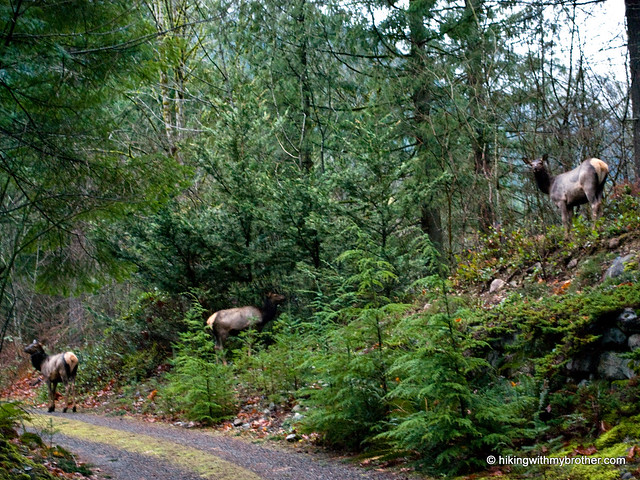
Green Mountain is a good workout, has some great views, and does not currently attract many hikers. If you’re looking for something a little different, this is a great hike to put on the list. Enjoy the hike!
To get there, take I-90 to exit 34 and take a left onto 468th Ave. Follow the road past the truck stop for about a half-mile until you reach SE Middle Fork Road, also known as Forest Road 56. The road has a few twists and turns, but continue on until the asphalt ends at Mailbox Peak Trailhead. Press on just over five miles to a large concrete bridge spanning the Middle Fork Snoqualmie. Look for an unmarked trail heading downstream just past the bridge on the north side of the river. No real parking available, though the shoulder is a bit wider on the south side of the bridge. -Nathan
0 Comments:
Post a Comment