


Total Ascent: 3600ft
Highest Point: 5162ft
Total Distance: 10 miles
Location: N 47° 24.3900, W 121° 37.3200
Required Permit: Northwest Forest Pass
Difficulty: Moderate
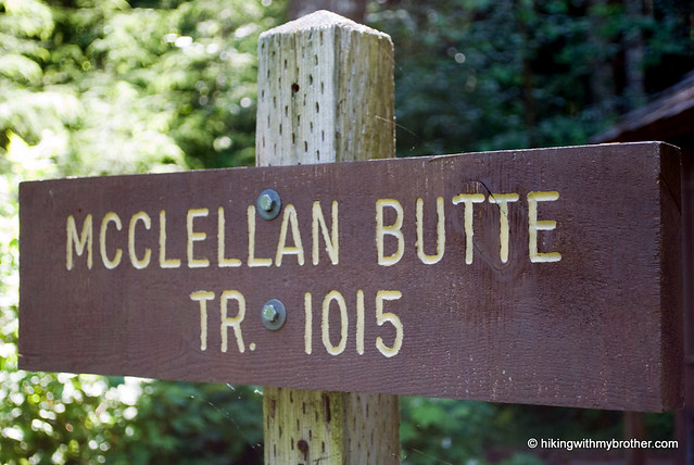
 We took a moment, while gearing up at the McClellan Butte trailhead, to think about the many months we had been waiting to ascend the snow-covered crags we’d spied on so many of our previous hikes. Each time we glimpsed the exposed rock that seemed to be bursting forth from the forested mountain reaffirmed our desire to claim the peak. So it was with much anticipation that we took our first steps on the trail.
 McClellan Butte is the perfect alternative to Mt. Si if you’re looking for a good training hike without the crowds. In high summer and early fall, once all the snow has finally melted away, the hike should not pose too much difficulty for the whole family to reach the top. While a steady uphill climb, frequent openings in the treeline offer ideal places to catch your breath before pushing onward. While the views are similar to many of the other peaks in the area, the allure of the exposed crags with the minimum of mileage to get there makes this a great hike.
 There's a lot more to McClellan Butte, and you can learn all about it in our book, Hiking Through History Washington. You'll find a trail map, route descriptions, history, and more for this and many more hikes throughout the State. Help support hikingwithmybrother.com and the work we do by picking up a copy!
 To get there, take I-90 out to Exit 42. At the stop sign turn right and follow Forest Road 55 for less than a half-mile to the McClellan Butte spur heading uphill on your right. Follow the spur to the trailhead parking lot. - Nathan
Print Google Directions >>
2 Comments:
As of Sunday June 28th, the trail is mostly snow free, and the scramble at the top has completely melted out. The remaining snow pack begins at about the last 1/2 mile of trail. The trail is steep and the snow is slick, so hiking poles would be a good idea through this area. The road leading to the trailhead is open and in good shape!
Thanks Jer! We're taking it on this Friday.
Post a Comment