about us | links | permit info
Subscribe to Hiking With My Brother Email Subscribe Follow Hiking With My Brother on Facebook Follow Hiking With My Brother on Twitter Hiking With My Brother Picasa Hiking With My Brother YouTube

Scout Lake Trail

Our Hiking Time: 2h 20m
Total Ascent: 900ft
Highest Point: 3900ft
Total Distance: 3 miles
Location: N 47° 21.1980, W 121° 29.7420
Required Permit: None
Difficulty: Moderate

Nathan's PhotoSometimes, all you’re looking for in a hike is to feel like you’ve gotten away from civilization to have some quality time with Mother Nature. Other times you need a hike to take friends and family that might not be interested in bushwhacking up a mountainside. Luckily, Scout Lake is the perfect answer to either of these needs: short, approachable, and reasonably rewarding.

Presumably, like a number of other lakes in Washington and scout lake hikingwithmybrotheraround the country, Scout Lake was named for the Boy Scouts that frequented its shores back in the day. It may still be a popular destination for various local troops, but we never spied any uniforms among the few tents we saw camped at the lake.

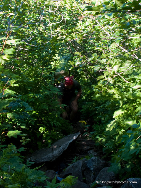
The short trail begins along a spur road off Hansen Creek Road (FR 5510). Follow the logging road for about a half-mile to the actual trail, which roughly follows a tributary of Hansen Creek up to Scout Lake. While occasionally narrow and a touch overgrown, the trail is generally easy to follow and not too steep. At one point, a washout creates some confusion as the trail seems to diverge in different directions – but either route will re-connect with the trail if you keep a sharp eye out for it. When in doubt, backtrack and you’ll soon be on the right path. During the summer, skipping across the creek over rocks and log bridges was a snap, though with heavier flow or icy conditions it could easily become more challenging.

Scout Lake is tucked into a cirque below Humpback Mountain and Bearscout Peak. The quiet, talus-lined bowl and flat lakeshore make for great camping, and we saw some evidence that the fish were biting as well. Find a quiet spot on the shore and enjoy a taste of nature. Not tired yet? Never fear. From here, it’s easy for the hardened hiker to extend the trip up the ridge to the top of Humpback or find your way down to Annette Lake.

scout lake hikingwithmybrotherThis is a fun little trail to take just about anyone on, just rough enough around the edges to seem like an adventure. Although the short jaunt along a rocky logging road is nothing special, once you get into the woods, the surroundings are pleasant and inviting. As an added bonus, the lake is a little off the radar and we didn’t see any other hikers along the way, just a few backpackers at the lake. The lack of company only adds to the lake’s secluded feel. All and all, we recommend this little hike that has a little something for everyone.

To get there, take Exit 47 off I-90 and take a right over the bridge. At the intersection, turn right onto Tinkham Road (aka Forest Road 55). Continue for roughly a mile to a fork and veer left onto the Hansen Creek Road (aka Forest Road 5510). Follow the road under the old railroad trestle and up two switchbacks. Continue up for another half-mile or so past a locked yellow gate to an unmarked road that intersects FR 5510. Find a spot to park along the road and follow the spur uphill. -Nathan
Scout Lake

Snoqualmie Mountain Trail

Our Hiking Time: 6h
Total Ascent: 3100ft
Highest Point: 6278ft
Total Distance: 3 miles
Location: N 47° 27.5340, W 121° 24.9900
Required Permit: Northwest Forest Pass
Difficulty: Hard

Nathan's PhotoA gorgeous day demanded that we find a high perch to survey the landscape. Luckily, we had just the hike in mind, a summit that we’d noticed on our way up Guye Peak: Snoqualmie Mountain.

snoqualmie mountain hikingwithmybrother


We highly recommend this hike for those that are up for a little punishment. We definitely met some folks on the trail, but they were a tiny percentage of the hikers clogging the parking lot bound for Snow Lake. There is plenty of room at the top to find a place to settle down, argue about the names of peaks, and enjoy a hard-earned lunch.

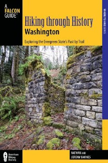
There's a lot more to Snoqualmie Mountain, and you can learn all about it in our book, Hiking Through History Washington.  You'll find a trail map, route descriptions, history, and more for this and many more hikes throughout the State. Help support hikingwithmybrother.com and the work we do by picking up a copy!

To get there, take I-90 to exit 52. From the exit, take a left onto Alpental Road for about two miles to a large gravel parking lot. The dirt road is across the road to the right, near the Snow Lake trailhead. -Nathan

Print Google Directions >>

Snoqualmie Mountain

Gold Creek Trail #1314 to Alaska Lake

Our Hiking Time: 7h
Total Ascent: 1700ft
Highest Point: 4200ft
Total Distance: 11.5 miles
Location: N 47° 27.5100, W 121° 21.1620
Required Permit: Northwest Forest Pass
Difficulty: Hard

Nathan's PhotoGold Creek is one of the most popular snowshoe routes in Snoqualmie Pass, attracting thousands of snowshoe-clad hikers every year. Now that the snow has finally made its last curtain call of the season, we decided it would be a perfect time to explore Gold Creek Valley.

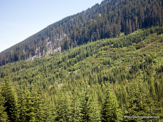
The Gold Creek Trail #1314 started out in 1898 as a prospecting trail gold creek alaska lake alta mountain hikingwithmybrotherfollowing the creek to various claims along the ridges of the valley. As times changed and mining gave way to recreation, the trail deteriorated and all but disappeared from neglect. In the 1970s, the Forest Service rescued the route and for the next 30 years, snowshoers and hikers enjoyed the gentle trip through the valley. In 2002, large swaths of the trail were destroyed by a massive avalanche that tumbled down one side of the valley and splashed up the other side, leaving thousands of downed trees in its wake. Today, the Forest Service and volunteers have craved something of trail out of the debris, but portions remain a challenge to navigate.

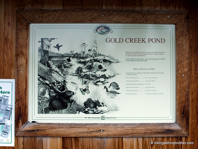
The trail begins along the Gold Creek Pond Trail, a stroller-friendly asphalt loop around Gold Creek Pond. Signs quickly direct you off the pavement and onto a series of private roads that meander for about a mile before you reach actual trail. Once on the trail, things are fairly level and pleasant, Gold Creek keeps you company for the first two miles as you travel through thimbleberry and vine maple, which slowly yield to hemlock and cedar. A little over two miles into the trail, just after you enter the Alpine Lakes Wilderness, you’ll reach the 2002 avalanche area; an abrupt wasteland of rocks and fallen logs. On the plus side, the avalanche stripped the vegetation from the cliffs above and exposed a few small waterfalls that tumble down the rocks to meet up with Gold Creek.

gold creek alaska lake hikingwithmybrotherAfter you navigate the avalanche area, you’ll need to ford Gold Creek. Later in the season, when the water is low, the crossing can be down without getting your feet wet. When we did it we were up past our knees in the icy water, but it was not nearly as difficult for us as Sunday Creek. Once across the trail continues for another mile and two more creek crossings before “ending” with a sign pointing you toward to Alaska and Joe Lakes while glibly stating, “trail not maintained beyond this point.” They’re not kidding.

The rocky trek up to Alaska Lake is only a mile, but demands a thousand feet of elevation gain. The bootpath follows Alaska Creek through groves of slide alder and vine maple to the shores of Alaska Lake, alternating between climbing up abandoned creekbeds and clambering over fields of talus. It is not an easy trek, but Alaska Creek is little more than one long waterfall cascade, and the views of Gold Creek valley and Alta Mountain alone are worth the attempt. Alaska Lake itself is a nice little destination, tucked beneath Alaska Mountain and the Pacific Crest Trail, with a couple of nice campsites along the lakeshore. For those looking for the extra adventure, push onto the PCT for an alternative approach to Joe Lake, rather than the bushwhack-heavy route below.

Aside from the creek crossing and the avalanche area, thisgold creek alaska lake hikingwithmybrother trail is a pleasant stroll to the Alaska Lake junction. For those looking for an easy hike with a bit of distance, hiking to the junction and back is an approachable ten-mile jaunt. The trip up to Alaska Lake, however, is challenging but ultimately rewarding, well worth the slog up the mountainside. Between the paved Gold Creek Pond trail and the rugged Alaska Lake scramble, there is something for everyone on this hike.

To get there, take I-90 to the Hyak Exit 54 and take a left. After you pass under the freeway, take a right on the frontage road, Forest Service Road 4832. Follow the road for approximately 1.5 miles to the signed Gold Creek Road, Forest Service Road #142. Turn left and follow the road for a half-mile to the Gold Creek Pond parking lot and trailhead. - Nathan

Gold Creek & Alaska Lake
Copyright 2008-2016 - hikingwithmybrother.com
hikingwithmybrother@gmail.com