Total Ascent: 2000ft (1000ft out)
Highest Point: 2100ft
Total Distance: 22 miles
Location: N 47° 28.9320, W 121° 23.0520
Required Permit: Northwest Forest Pass
Difficulty: Moderate
 We’ve spent a lot of time in the Middle Fork Snoqualmie Valley the past few years. We’ve climbed mountains, followed creeks to spectacular waterfalls, and explored hidden lakes. But, despite hearing a lot about it, we had not yet made it out to one of the valley’s signature destinations: Goldmyer Hot Springs. As autumn continues to bring cooler temperatures, we set out on a short overnight to see the springs before winter set in.
 Goldmyer Hot Springs is named for William Goldmyer, who purchased the land around the hot springs and built a lodge for local lumberjacks and miners around 1900. The lodge eventually became something of a resort, and the hot springs were expanded. Back around the turn of the 20th century, mineral springs were big business as people sought them out for their restorative properties. The resort operated for many years, supported by a railroad that made access much easier than it is today, as well as emerging hydroelectric technology that powered the encampment. Eventually the resort closed, the land changed hands, and the hot springs went into decline until the ‘80s when a nonprofit group bought the land and began a program of resident caretakers that continues to this day.
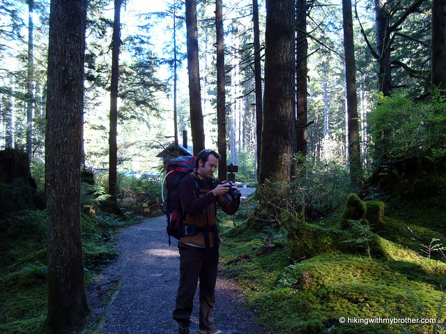
Currently, because of a road closure, access to Goldmyer is a 10 mile riverside stroll following the Middle Fork Trail #1003. This trail is extremely well maintained. The effort that trail volunteers put into it is readily apparent in the extensive network of bridges and boardwalks. Although
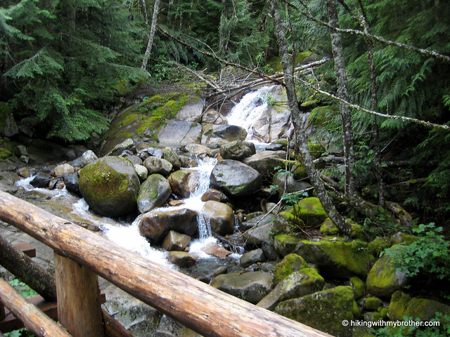
 there are a few ups and downs, for the most part the trail generally follows the remnants of old logging roads and is fairly gentle. Wander under alders, hemlocks, and big leaf maples, and take advantage of breaks in the canopy to see Mt. Garfield, the granite cliffs of Stegosaurus Butte, and Mt. Thompson. Cross roaring creeks, tumbling cascades, and the occasional wash-out before reaching Goldmyer and a well-earned soak.
There are two approaches to the hot springs. Both follow the Middle Fork Trail for 6 miles to the Dingford Creek Bridge. At this point, you can continue on the Middle Fork Trail for another 4 miles to Burntboot Creek and a log crossing to the Goldmyer property. Alternatively, you can cross the bridge and follow the Dingford Creek Road 4 miles to Goldmyer. The forest road is not as enjoyable as the trail, but a couple unbridged creeks can be difficult to cross when waters run high during the spring thaw or heavy rains.
The hot springs themselves are fairly small. Probably no more than 10 people can fit in the various pools at any one time. Perhaps for this reason, Goldmyer limits camping to 20 people a day and groups to no more than 12. Although a reservation is not strictly necessary, it will guarantee you a campsite during the busy summer season. Check out goldmyer.org for more details.
This is a great hike for beginning backpackers. The ease of the trail
 and the comfortable destination (the tent sites are well groomed, the nearby river makes for easy access to water, and an enclosed outhouse borders on luxury) make it easy to convince the skeptics that backpacking is a lot of fun. Moreover, the Middle Fork Trail is really a pleasant journey that takes you though some of the best portions of the valley. The Middle Fork Trail route also allows for some interesting side trips for those looking for a little extra. At the 5-mile mark, you reach Cripple Creek and a mile-long scramble up to Tin Cup Joe Falls. At just over 8 miles, the trail intersects with the Rock Creek Trail #1013.1, which leads out to Snow Lake and Snoqualmie Pass.
To get there, take Exit 34 off I-90 and take a left on 468th Ave. Follow the road past the truck stop for about a half-mile until you reach SE Middle Fork Road, also known as Forest Road 56. Continue to follow the twists in the road until the pavement runs out. Continue on FR 56 for 11 miles, to the Middle Fork Trailhead parking lot. The trailhead and Gateway Bridge are at the north end of the lot. - Nathan
Print Google Directions >>