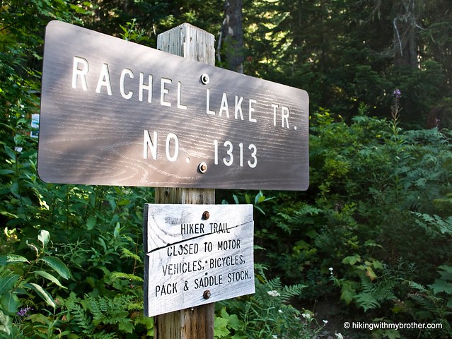
Total Ascent: 3800ft
Highest Point: 6151ft
Total Distance: 10 miles
Location: N 47° 26.4655, W 121° 19.8981
Required Permit: Northwest Forest Pass
Difficulty: Hard
 There’s always time for a scramble up the side of a mountain. So when we discovered that Alta Mountain wasn’t too far beyond our planned hike to Rachel Lake our interest was piqued. At 6,240’ Alta not only promised some long views into the Central Cascades, but all of our trail maps ended near the base of the mountain. Excited to do some exploring off the trail, we geared up and headed out beyond Snoqualmie Pass to the trailhead.
 Although the trail is challenging, making this hike feel more difficult than the elevation gains would suggest, the beauty and the view more than make up for effort. Rachel Lake and Rampart Ridge hold more than can be seen in a day, making this hike perfect for a short backpacking excursion.
There's a lot more to Rachel Lake and Alta Mountain, and you can learn all about it in our book, Hiking Through History Washington. You'll find a trail map, route descriptions, history, and more
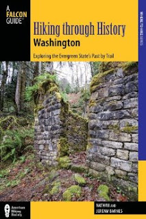 for this and many more hikes throughout the State. Help support hikingwithmybrother.com and the work we do by picking up a copy!
From Seattle, take I-90 to Exit 62. Turn north and drive five miles to the Lake Kachess campground. Take a left onto left Box Canyon Road #4930. Continue for four miles and turn left into the Rachel Lake Trailhead parking area. - Nathan
Print Google Directions >>