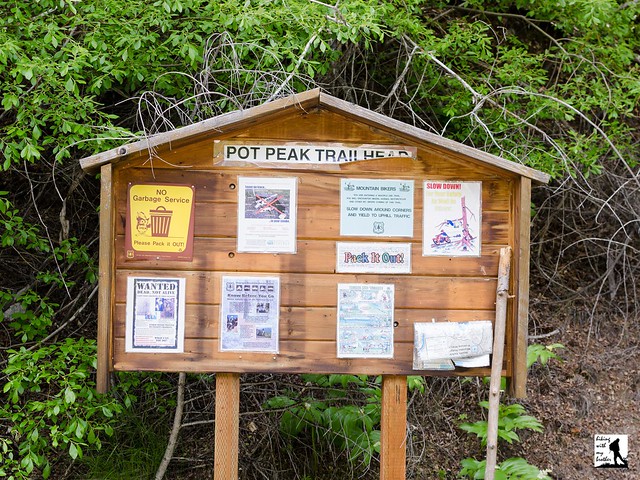
Total Ascent: 1900ft
Highest Point: 3800ft
Total Distance: 6.6 miles
Location: N 47° 56.5683, W 120° 19.766
Required Permit: None
Difficulty: Moderate
 Last summer we spent a weekend hiking around the bluffs above Lake Chelan. We explored a number of trails, all of which had something a little different to offer. One of those trails was the Pot Peak Trail, a dusty mixed use trail that climbs Pot Peak Ridge to take in views of the surrounding foothills.
The Pot Peak Trail #1266 begins from a roadside trailhead and immediately begins ascending the ridgeline. Like many of the trails in this area, the Pot Peak Trail is primarily a biking trail and some sections of the trail have been improved to handle bike traffic. Many of the trail’s switchbacks are reinforced with cinder blocks to keep the trail from degrading. After about a half mile of climbing the trail enters a burn zone, a stark reminder of the 2004 Pot Peak Fire that offers an early glimpse of the views to come.
As you continue upward, the trail will slip back into sections of pine forest, offering some shelter from the sun. The respite is short however, as you will soon find yourself wandering through stands of charred trees rising out of a shallow sea of saplings and underbrush. Continue to push upward until you find a suitable stopping point. We turned around at a vista a little over 3 miles from the trailhead. More intrepid hikers will continue upward to Pot Peak's exposed summit for slightly bigger views and a glimpse of Lake Chelan in the distance. From the summit the trail continues onward to connect with the Devil’s Backbone Trail at the 10 mile mark.
Somewhat challenging and easily accessible from Chelan, the Pot Peak Trail is a good option for those hikers looking to fit a good hike into a weekend at the lake. While the views are not necessarily spectacular, the opportunity to explore a terrain recovering from a relatively recent forest fire has a certain appeal. Keep in mind that this is primarily a biking trail, so be ready to share the trail with bikers who may be coming downhill quickly. At the same time, this trail is often overlooked as a hiking option, which means you’re likely to enjoy the trail without much in the way of company.
To get there, take I-90 to Exit 85 to Cle Elum/Leavenworth. Cross the freeway and head right on WA 970 toward Leavenworth as it merges into WA 97. As WA 97 ends, merge on US 2 toward Wenatchee following signs for US 2 and WA 97. In West Wenatchee, follow signs for WA 97 ALT. Once on WA 97 ALT, continue 23.5 miles to WA 971, taking a left and following to Lakeshore Road. Take a left and continue 10.4 miles past Twentyfive Mile Creek State Park to FR 5900. Take a left and follow FR 5900 2.5 miles to a junction with FR 8410. Head left onto FR 8410 for .5 mile to the Pot Peak Trailhead. -Nathan
Print Google Directions >>


1 Comments:
In the past, bottles and tumblers were created with little attention to how they looked. Their purpose was purely functional—simply to hold beverages—while style was rarely a priority. This mindset has shifted as people have become more intentional about the items they use and display every day. Drinkware has now emerged as a design-focused category, where appearance matters as much as performance. Contemporary art designs add character and visual interest to bottles and tumblers, turning them into accessories people confidently carry to the office, take on trips, or place on café tables with pride.
https://colornjoy.com/products/teddy-bear-coloring-water-bottle-outdoor-toys
https://colornjoy.com/products/rainbow-squad-coloring-water-bottle-cartoon-character
https://colornjoy.com/products/explorer-time-coloring-water-bottle-adventure-theme
https://colornjoy.com/products/cactus-oasis-coloring-water-bottle-flower-theme
https://colornjoy.com/products/cozy-ghost-halloween-40oz-tumbler-travel-mug
Post a Comment