


Total Ascent: 850ft
Highest Point: 3200ft
Total Distance: 2.2 miles
Location: N 48° 2.2380, W 121° 26.5920
Required Permit: Northwest Forest Pass
Difficulty: Easy
 A few months ago, just before the snows closed the Mountain Loop Highway for the winter, we headed out to Barlow Pass to do a little exploring. While most hikers heading out to Barlow Pass have their sights set on Monte Cristo or Gothic Basin, we took a short jaunt up to Barlow Point, the site of a former fire lookout.
As we’ve mentioned in the past, prospector F.M. Headlee is credited with discovering Barlow Pass around 1891. Around the same time, the continued expansion of the Monte Cristo mines meant that a railroad was needed to transport ore to Everett for processing. The mining companies hired John Q. Barlow to survey the railroad route and the pass was named in his honor. For whatever reason, there are a number of publications that claim Barlow Pass was named after pioneer Samuel K. Barlow. While that is true for the Barlow Pass in Oregon, Washington’s Barlow Pass was named after the railroad surveyor.
 The Everett and Monte Cristo Railroad ran right through Barlow Pass on its way to Monte Cristo. Mining companies built warehouses at the pass for storing supplies and the Forest Service built a guard station. Around 1916 a large forest fire cleared the trees from the ridge above Barlow Pass, and in 1935 a fire lookout was built on that ridge. Rangers working for the Forest Service would reside in the guard house and hike up to the fire tower when fire danger was high. The tower and guard station were removed in 1964.
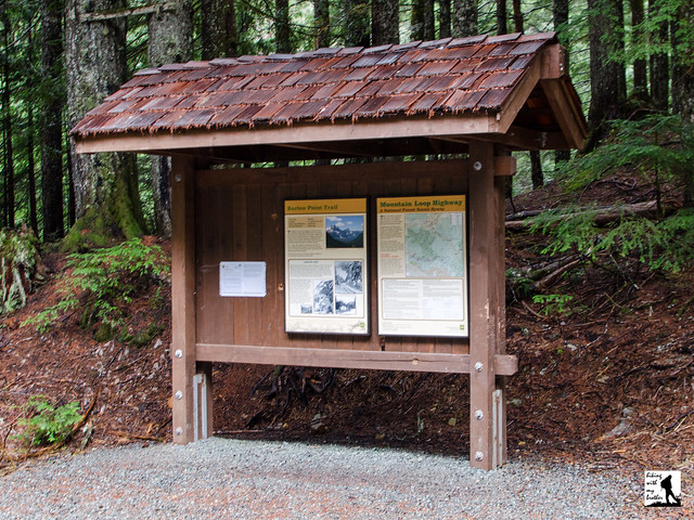
The forested trail begins from the parking lot at Barlow Pass, the site of the Forest Service guard station. The first moss-lined section of trail is nearly flat, winding under the trees for a third of a mile before reaching the junction with the Old Government Trail #733. Veer right, following the sign pointing the way up toward Barlow Point. From here, the trail begins to steepen, switchbacking up toward the rocky ridgeline.
After climbing a little over 800 feet, you’ll find yourself at the remnants of the fire lookout. Nothing more than a few scraps of metal and cable remain. Although the trees have grown up to obscure the views, on a good clear day you can pick out quite a few peaks. Looking east over the South Fork Sauk River are the rocky cliffs of Sheep Mountain. To the north are Dickerman Mountain and Twin Peaks. Looking west over the South Fork Stillaguamish Valley is Big Four Mountain and Hall Peak. To the south find Lewis Peak and Silvertip Peak.
 This short hike is probably best combined with a tour of the Old Government Trail #733, as together they make up enough trail time to justify the trek out to Barlow Pass. Although the trail to the lookout site is on the steep side, the short distance should make it a destination that almost every hiker can reach. And, because the narrow trail is well-maintained, it’s a good option for younger hikers. Next time you’re out at Barlow Pass, consider adding this short side-trip up to a former fire lookout.
To get there, take I-5 North to Exit 194. Follow Highway 2 for about two miles. Stay in the left lane and merge onto Lake Stevens Highway 204. Follow for two miles to Highway 9. Take the left onto Highway 9 toward Lake Stevens. In just under two miles, you’ll reach Highway 92 to Granite Falls. Take a right and follow for about nine miles to the Mountain Loop Highway. Take the MLH for 31 miles to Barlow Pass. Find the trailhead parking lot on your left. -Nathan
Print Google Directions >>
0 Comments:
Post a Comment