Total Ascent: 3400ft
Highest Point: 4950ft
Total Distance: 7 miles
Location: N 47° 35.8200, W 123° 16.3440
Required Permit: None
Difficulty: Hard
 We headed back over to the Olympic Peninsula to take on a famously obscure hike of legendary proportions. With names like the Valley of Heaven and St. Peter’s Gate, we anticipated a trip to the Lake of Angels would be stunning – and it delivered.
While we highly recommend this hike, it’s definitely not for the unprepared. It’s not the most difficult hike we’ve ever done, but the Lake of Angels was certainly challenging to get to. At the same time, many guidebooks give the impression that this trail requires some serious mountaineering skills to tackle – this is not the case. While there is one very small section that will probably require you to use some handholds to help you climb up the roots and rocks, that’s as harrowing as it gets.
 If you’re a strong hiker and are looking for something a little out of the ordinary, this is definitely a trail to check out. There are a few wilderness campsites around the lake, making an overnight an easy option. From the lake there is access to a variety of destinations including Hagen Lake or Mt. Stone and the Stone Ponds via a pass known as St. Peter’s Gate.
There's a lot more to Lake of the Angels, and you can learn all about it in our book, Hiking Through History Washington. You'll find a trail map, route descriptions, history, and more
 for this and many more hikes throughout the State. Help support hikingwithmybrother.com and the work we do by picking up a copy!
 To get there, take I-5 south to Olympia to Exit 104 toward Aberdeen and Port Angeles. Follow US 101 along Hood Canal almost 49 miles through Shelton and Hoodsport to FR 25, also known as the Hamma Hamma River Road. Take a left and follow the road 12 miles to the trailhead just beyond Boulder Creek. The last five miles of the road are unpaved and have seen some washouts. A high clearance vehicle is recommended. -Nathan
Print Google Directions >>


4 Comments:
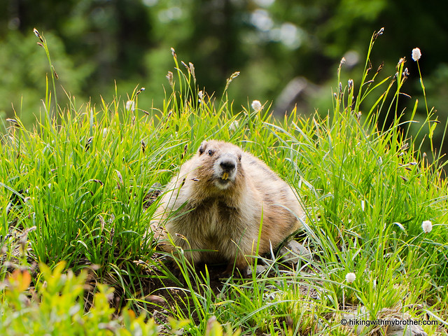
The marmots are so cute! This looks so intense. I almost had a heart attack just looking at you guys climbing. You two are fearless!
The scenery looks stunning! It definitely looks like there was some serious bouldering involved to get around, but I'm just loving the views.
Thanks for sharing this part of the Pacific Northwest!
-Maresa
http://aroundpugetsound.blogspot.com/
I hiked this trail with a friend about 4 years ago, but I was not aware of the grave and the story behind it. It was definitely a challenging hike, and worth every bit of the effort. Thanks for the backstory!
This looks awesome.
The climbing looks fun!
Post a Comment