


Total Ascent: 700ft
Highest Point: 3000ft
Total Distance: 2.5 miles
Location: N 47° 23.6520, W 121° 36.3300
Required Permit: None
Difficulty: Moderate
 This week we decided to go a little off the beaten path and explore a set of crags known as the Duke, Duchess, and Earls of Kent. Situated on the opposite side of the Alice Creek Valley from Mt. Kent, the lonely cliffs get few visitors. After a little research, the approach seemed relatively straightforward, so we packed up and headed out I-90 toward Mt. Gardner hoping for better experience than the last time we were there. No such luck.
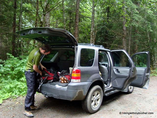
The route to the base of the crags is entirely along forest roads,
 beginning at the roadblock just before the Alice Creek washout along FR 9020. As we started down the path, we noticed the washout had been repaired, and wondered at the large tire marks as we progressed up the relatively steep forest road. About a half-mile into our journey, the road abruptly ended. It was clear this was where all the machinery we’d seen indications of had been working. Huge holes had were scooped out of the road and brush and fallen logs were scattered across the roadbed.
We’d seen treatment similar to this before – churning up a few dozen feet of road to prevent motorized access – so we pressed on, anticipating the road to quickly reappear. It never did. For the next mile or so we slogged through rock-filled soft earth, clinging underbrush, and rain-soaked debris. Every last inch of the former road and been obliterated. By the time we got to the base of the crags, we looked up into the fog and decided we’d had enough of the soggy day and headed back to the car.
Did we mention it was raining? Of course it was.
It’s pretty rare that we find ourselves on a really bad hike. Sometimes the trail is overgrown, sometimes the weather is awful or sometimes our information is bad and we hike in the wrong
 direction. But this hike presented us with a first: never before have we unexpectedly found the route to our destination utterly demolished. We hunted around online for details on the project, but came up empty. One has to wonder why so much effort was put into breaking up the road, when typically they are left to slowly fade away. Or why money was spent on this project and not some other much needed forest road maintenance.
The lesson here is that even if you do your research, it’s possible to get out on the trail and find that conditions have drastically changed. Had the weather been better, we probably would have scrambled up the talus fields to check out the views, but the rain and fog made us stop for the day before we discovered any more unpleasant surprises.
We don’t recommend this hike for anyone, but if for some reason you’d like to go there, take I-90 to Exit 38. Then take a right and head past Olallie State Park and the access to Deception Crags for about two miles to reach FR 9020. Follow the progressively rougher logging road to the roadblock at 4.5 miles. - Nathan
2 Comments:
Bummer dudes. You guys do your research pretty well. I absolutely love how each report is 'new' and different, like you never go to the same place twice or something!
We try! But man, that hike was a total downer. Sucks when a potentially good hike blows up!
Post a Comment