Total Ascent: 500ft
Highest Point: 1500ft
Total Distance: 8.2 miles
Location: N 47° 30.9600, W 121° 36.7680
Required Permit: None
Difficulty: Easy
 Earlier this year we hiked the first half of the then snow-bound CCC Road. This week, with a slowly recovering sprained ankle to tend to, we explored the remaining portions of a road that once served as the main artery for accessing the timber and mineral interests in the Middle Fork Snoqualmie Valley.
The Civilian Conservation Corps built the CCC Road in 1939, putting young unmarried men to work doing public good during the Great Depression. Eighty years later, the road is still in good shape, thanks to the Forest Service and a small army of volunteers keeping nature at bay.
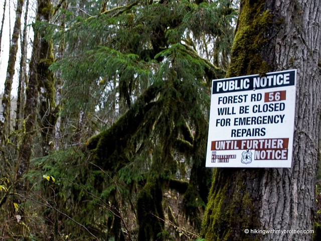
 Washouts on Forest Road 56 blocked direct access to the easternmost entrance to the CCC Road, so we quickly decided to make a short loop out of the hike. Our recent trek up Bessemer Mountain took us up the Big Blowout Creek entrance to the CCC trail, so we saved it for the end of our hike and instead explored further down FR 56 on foot. This portion of FR 56 hugs the Middle Fork Snoqualmie River, lending easy access to a number of angling sites, some of which are a happy trail jaunt through scrub and rocks to reach the riverside. Eventually one arrives at the trailhead, where the CCC Road intersects with its modern replacement, FR 56. Somewhat overgrown and unmarked, the trailhead is easily marked with what Manning creatively refers to as “Tall Moss Cliff”, which is, unsurprisingly, a tallish mossy cliff-face. Hook left and dive into the trail.
The western portion of the trail mirrors much of the east – heavily deciduous, filled with alders and vine maples, sword ferns and salmonberry. Streams and rivulets cut across the trail, at times with such ferocity that they have obliterated large chunks of the former road, forcing the hiker to pick their way across a rubble field of talus and fallen timber. Small breaks in the foliage afford occasion views of the valley below, but the majority of the hike is shrouded beneath the second-generation forests that line the trail. The trail meanders a bit before connecting up with
 the logging roads on Bessemer, which will lead you back down the FR 56.
The CCC Road is not a backbreaker, it is not a full of amazing views, and it is not going to lead you to secluded groves or hidden meadows. Still, the old road is a nice introduction to the less-traveled Middle Fork area that is fairly easy to access.
To get there, take I-90 to exit 34 and take a left onto 468th Ave. Follow the road past the truck stop for about a half-mile until you reach SE Middle Fork Road, also known as Forest Road 56. The road has a few twists and turns, but continue on until the asphalt ends at Mailbox Peak Trailhead. Press on for about six miles to Tall Moss Cliff on the left, 9.7 miles from I-90. -Nathan


0 Comments:
Post a Comment