


Total Ascent: 1320ft
Highest Point: 5052ft
Total Distance: 3 miles
Location: N 47° 22.3380, W 121° 25.6080
Required Permit: Northwest Forest Pass
Difficulty: Moderate
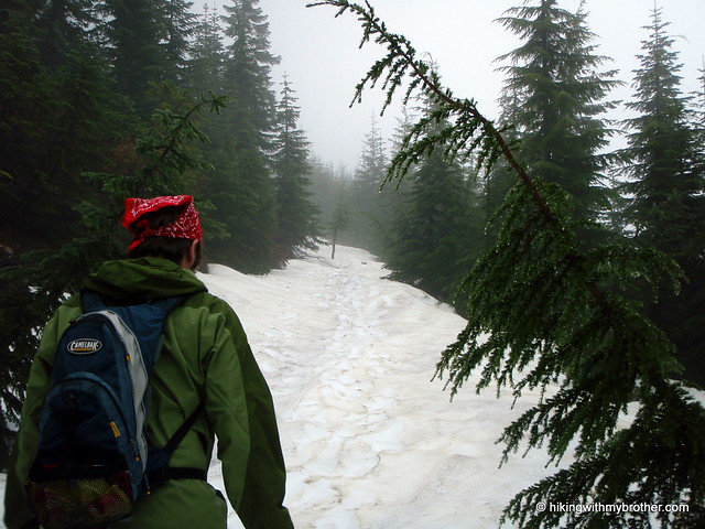
 Short on time, we pored through our resources to find a hike that would give us some new and interesting views in the time we had available. Mt. Catherine was an easy choice: just over Snoqualmie Pass with good views to the north and south without too much trail distance. Without much research, we packed up and headed out.
 According to Manning, back in the early days of aviation in 1920s and 30s, a beacon sat atop Mt. Catherine, one in a long series that included Rattlesnake Mountain and McClellan Butte, meant to guide planes through the low point in the Cascades. Today the beacon is long gone, though remnants remain in the form of rusted cables and bolts driven into Catherine's rocky peak.
The trail begins off Forest Road 9070, briefly following a logging spur before connecting with a rocky trail heading up the side of the mountain. The trail spares little in the way of switchbacks or other concessions for the casual hiker. Instead, the trail aims to deliver you to the summit with a mischievous efficiency. False summits abound, and each time you feel you've gained the prominence, you're quickly faced with even more mountain to ascend.
While the trail is short, Mt. Catherine makes up for it in grade. Mostly steep and rocky, the path is easy to follow and the rewards at the top are well worth the sweat. Look down on Keechelus
 Lake with I-90 hugging its shore. To the south, Rainer quietly lurks behind Silver and Tinkham Peaks. Humpback Mountain is immediately to the west and Red Mountain stands boldly to the north.
To get there take I-90 to Hyak Exit 54 and head right. Take a left into the ski area parking lot and head toward the houses at the far end. Pass a small water treatment plant on your way to FR 9070. Keep to the left and follow the meandering forest road for just over four miles to a widening in the road at 3700ft. Park and find the trail nearby. - Nathan
Print Google Directions >>
3 Comments:
In early June, when we originally did this hike, FR 9070 has some water damage. You can definitely drive all the way to the trailhead, but I recommend driving a vehicle with a decent amount of clearance. You can also call the ranger station to see if repairs have been made.
It's 4.2 miles from the start of the FR 9070 dirt road (right by the treatment plant) to the trailhead per my odometer today.
bw - thanks for the catch! We've updated the directions.
Post a Comment