


Total Ascent: 800ft (450ft in; 350ft out)
Highest Point: 3500ft
Total Distance: 4 miles
Location: N 47° 24.5400, W 121° 25.8600
Required Permit: Northwest Forest Pass
Difficulty: Easy
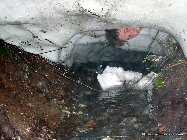
 Now that the snow had begun to loosen its grip on the trails in and around Snoqualmie Pass, we were on the lookout for an opportunity to do a short hike to a destination that for years played a leading role in the recreational history of the Pass. So, despite the gloominess of the day we packed up and headed out for a pilgrimage to historic Lodge Lake.
The route follows a section of the Pacific Crest Trail, a 2,650 mile trail from Canada to Mexico that was only fully completed in the early 1990s after decades of effort to connect the Washington Cascade Crest Trail to other extensive trail networks in Oregon and California. The section was first blazed by the Mountaineers in 1919 for alternative access to the club lodge that gave the lake its name. Mountaineers would take the train from Seattle to the Rockdale station and then make the mile and a half trek to the volunteer-built lodge for weekends of snowy outdoor excursions, snowshoeing the nearby peaks, and late night dances to the windup Victrola.
The original 1914 Lodge was lost in a fire in 1944. Volunteers rebuilt the structure in 1948, and it stood until another fire burned it to the ground in 2006.
 Today there is no longer a lodge at Lodge Lake, though the Mountaineers still own some 77 acres of land around the lake and continue to discuss the possibility of re-establishing this lost icon.
From the trailhead, the gentle trail quickly jaunts through a stretch of young firs before depositing you in The Summit ski area. Wander through the now-green ski slopes, under the silent ski lifts and over the small rivulets bringing the last of the spring runoff down the mountainside. Beyond the lifts the trail alternates between being a path and a streambed as it enters an increasingly pristine forest of cedar and fir. At just shy of a mile the trail arrives at Beaver Lake and hugs its shores before starting a gradual descent down to Lodge Lake. Through the trees you will catch brief glimpses of the water as the trail winds down toward the far end of the Lodge Lake where a signed spur trail will take you to the lakeshore.
 This is fantastic hike for all ages, especially in the spring and summer when The Summit can be experienced without the familiar snowy backdrop. The short trek through meadows and forests covers a wide variety of terrain in a very short distance, and for the more adventurous there are plenty of destinations beyond Lodge Lake to satisfy the need for a longer hike.
To get there, take Exit 53 off I-90 into The Summit ski area. Turn right into the gravel parking areas and head toward the back of the lot. You’ll find the signed trailhead where the gravel ends. - Nathan
Print Google Directions >>
1 Comments:
Just did this hike today because I found it on your site and thought it looked fun! Thanks for the great tips!
Hope you guys have a happy 4th!
Post a Comment