


Total Ascent: 1700ft
Highest Point: 3700ft
Total Distance: 7 miles
Location: N 47° 21.5220, W 121° 28.4400
Required Permit: Northwest Forest Pass
Difficulty: Moderate
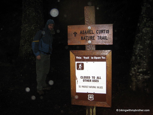
 We had planned to tackle one last peak this year before the snows came in and made them inaccessible, thus the heights of Mt. Defiance or Bandera Mountain were on our minds as we set out on I-90. Sadly, the amount of rain and cloud cover forced us to steer toward something with less exposure to the elements. We chose the nearby Annette Lake hike for two reasons: the tree cover looked good enough to shelter us from the rain and it had the added bonus of the Asahel Curtis Nature Trail.
  Annette Lake has been a favorite of Seattle hikers for over a century. Named in honor Annette Wiesling, a prominent member of The Mountaineers near the turn of the 20th century, today the lake welcomes hundreds of hikers every summer.
 The Annette Lake Trail #1019 begins quite mildly, not too rocky or rough, and is fairly well maintained. You’ll quickly cross over Humpback Creek and shortly thereafter break out into forest cleared for the high tension power lines overhead. A few hundred feet before the power lines, see if you can find the 8’ wide abandoned culvert skulking off the trail. Presumably a portion of Humpback Creek was once funneled through this monster. Makes a fun little stop and provides a much needed roof in the rain.
 Beyond the power lines the well-marked path intersects with the Iron Horse Trail and begins a mild ascent up towards the lake. Both switchbacks and inclines increase as you press onward, ratcheting up the challenge after lulling you for the first two miles. The trail cuts through more than a few talus fields afforded some interesting views of the Humpback Mountain’s craggy outcroppings and colorful rock faces.
 The forest is a pleasant mix of firs and pine, old enough to have long since replaced brushy undergrowth a carpet of moss. The last half-mile or so of the trail levels out and you soon find yourself at the lakeside, at the bottom of a bowl formed by the surrounding Humpback Mountain, Abiel Peak and Silver Peak. There are small picnic and camp sites on the trail around the edge of the lake, as well as some rough amenities for an overnight stay. For those looking for more of a challenge, rough trails lead up from the lake to Humpback and Silver Peak.
 The rain deterred us from exploring scrambles up the small waterfall on the opposite side of the lake, or even poking around too much on the shore. Instead we huddled down for a quick lunch and battled a couple of exceedingly bold gray jays, who all but dive bombed us for a scrap of food before we headed back down.
 Surrounded by mature forest and nestled beneath intriguing heights, it is easy to see what brings the crowds to Annette Lake. Moreover, the trail is well-maintained trail and not too strenuous, making it approachable for a wide range of hikers of all ages. At the same time Annette Lake is certainly not the most stunning alpine lake in the area. If you prefer a little more quiet and solitude, we recommend skipping Annette Lake during the summer months.
To get there, take Exit 47 off I-90 and take a right at the end of the ramp on to Forest Road 55. At the T take a left onto Forest Service Road 5590 and follow the gravel road to the parking lot. Trailheads for both the Nature Trail and Annette Lake are at the east end of the lot. -Nathan
Print Google Directions >>
3 Comments:
who are these really, really hot guys? and how can i get to go on a hike with them?
I'm kind of surprised you guys decided to go through with this hike after reading the sign at the beginning and noticing its lack of warnings against rock slides, "extreme difficulty," rabid mountain lions, and such. Kind of an easy week for you, wasn't it? Or, was Nathan blocking the part about those trees being man-eating?
Oh wait, you still managed to be attacked by some birds. Well then! Nicely done, gents.
Great hike. Cool little getaway.
Post a Comment