Total Ascent: 900ft
Highest Point: 3400ft
Total Distance: 3.8 miles
Location: N 47° 2.3820, W 121° 33.1860
Required Permit: Northwest Forest Pass
Difficulty: Easy
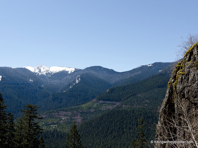
 With the sun making an appearance, this week we decided to head back out to SR 410 to explore Snoquera Falls. This gentle 4-mile loop to a somewhat secluded waterfall with only moderate elevation gains was exactly the speed we were looking for.
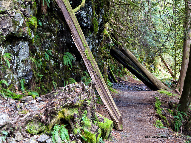
This was a great hike that we would recommend to almost anyone. It’s not often that such an impressive waterfall is so easily accessible – although the short route up to the base of the falls is a bit of a scramble.
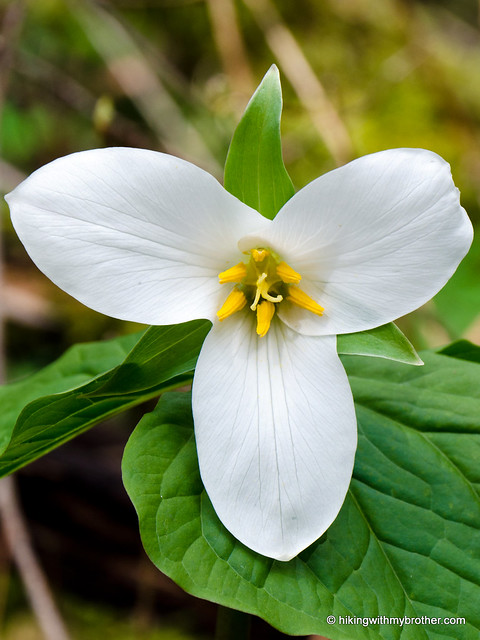
 The short climb up to the base of the falls somehow feels much more remote than it actually is. As an added bonus, you can hike this trail nearly year-round, with the falls putting on a different show depending on the season. A popular destination for sledding in the winter and camping in the summer, you can minimize the company by trying this hike in the spring.
There's a lot more to Snoquera Falls, and you can learn all about it in our book, Hiking Through History Washington. You'll find a trail map, route descriptions, history, and more
 for this and many more hikes throughout the State. Help support hikingwithmybrother.com and the work we do by picking up a copy!
 To get there, take I-5 south to Highway 18 Exit 142A. Follow Highway 18 into Auburn and take the SR 164 exit. Head left on SR 164 through Enumclaw to SR 410. Head left onto SR 410 for 32 miles to Camp Sheppard just past the Dalles campground. -Nathan
Print Google Directions >>